Wyoming · United States
Bighorn Scenic Byway
US 14Dayton to Shell
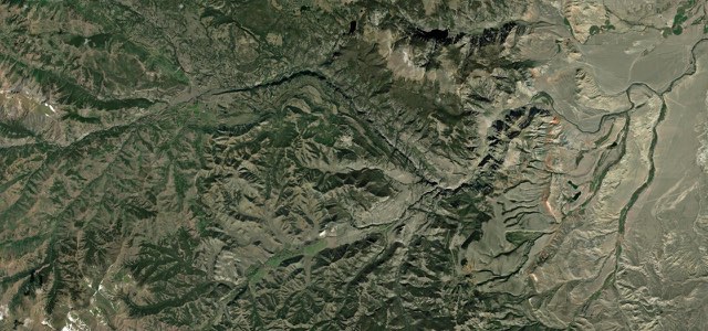
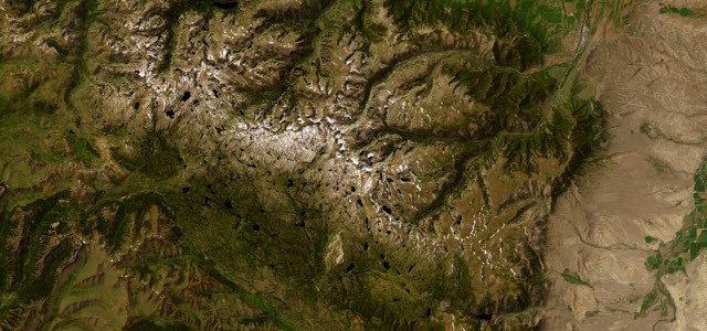
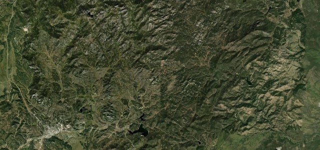
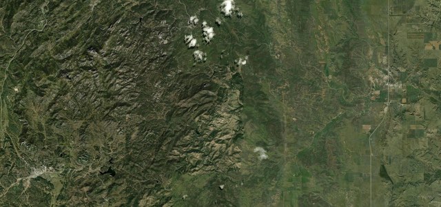
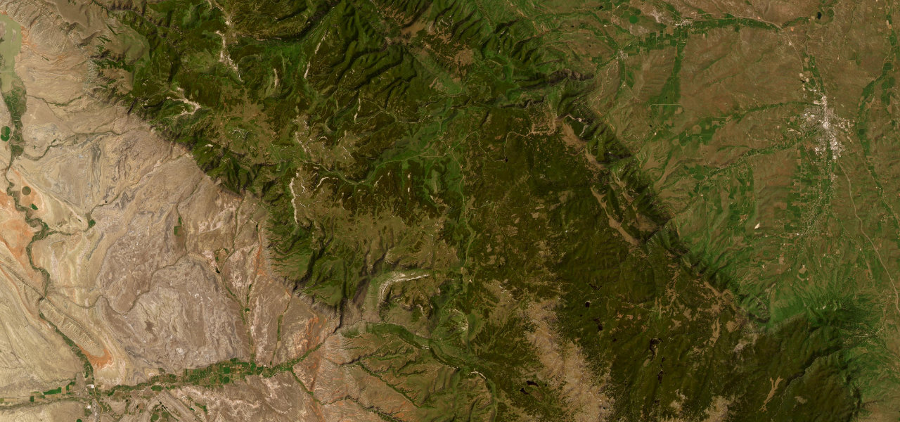
US 14 climbs from Dayton past Sibley Lake and Burgess Junction to 9,033-foot Granite Pass, then drops through the switchbacks of Shell Canyon, past Shell Falls, to Shell on the western side of the Bighorn Mountains.
From Dayton, US 14 climbs the eastern slope of the Bighorns, with views over the Tongue River canyon, past Sibley Lake to Burgess Junction, where US 14A splits off to the west. It crosses the Bighorn National Forest and tops out at Granite Pass at 9,033 feet, then passes the Antelope Butte ski area before dropping into Shell Canyon. Here several switchbacks take the road down between cliff walls that can block the sun where the highway and Shell Creek squeeze through the narrow gorge. Shell Falls, where the creek drops 120 feet over Precambrian granite, is on the north side of the road with an easy-access car park. The road ends at Shell, at the foot of the range. Heavy snow can close the two-lane road for short periods in winter and early spring.
Scenery
Best seasons
In these collections
Bighorn Scenic Byway on the map57.1 mi · point to point
Navigate to the start: Apple Maps · Google Maps
Character
Corners
busiest around mile 50Elevation
under 4%4 to 8%over 8%1,191 to 2,754 mPoints of interest5 stops
- Bighorn National Forest OverlookOverlook on the eastern climb, where the byway rises from the Sheridan valley and the Tongue River canyon.11 mi in
- Steamboat PointSteep single-track trail between large boulders to a 360 degree view over the Bighorns.13 mi in
- Sibley Lake viewpointRoadside viewpoint over Sibley Lake in the Bighorn National Forest.19 mi in
- Burgess JunctionWhere US 14A splits off west to become the Medicine Wheel Passage Scenic Byway.25 mi in
- Shell FallsShell Creek dives 120 feet over Precambrian granite, with a car park and nature trails beside the road.46 mi in
Hazards
- Can close for short periods in heavy snow in winter and early spring
- Steep grades in Shell Canyon, with the steepest quarter mile around 11.5 percent
- Falling rock advisories on the canyon sections
- Moose, elk and deer in the forest
- Limited services in Shell and Dayton, with full services at Greybull and Sheridan
See the typical season and live conditions for the high passes ›
Sources
“the road twists and turns as it works its way up the western slopes of the Bighorns.”
“Between these two points, the byway twists and turns up switchbacks as it makes the ascent up the Bighorn Mountains.”
Route traced from OpenStreetMap, with its stats measured from that line. How the roads are mapped
Driving the Bighorn Scenic Byway: quick answers
How long does it take to drive the Bighorn Scenic Byway?
How difficult is the Bighorn Scenic Byway to drive?
When is the best time to drive the Bighorn Scenic Byway?
Nearby roads
The closest great drives to Bighorn Scenic Byway.