South Dakota · United States
Spearfish Canyon Scenic Byway
US 14ASpearfish to Cheyenne Crossing
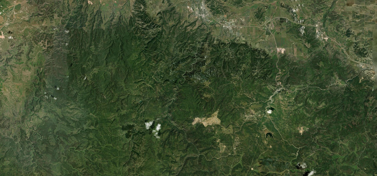
US 14A follows Spearfish Creek up a limestone canyon in the northern Black Hills, passing Bridal Veil Falls and Victoria’s Tower, with roads to Spearfish Falls and Roughlock Falls at Savoy, and climbing about 2,000 feet to Cheyenne Crossing.
From the junction with East Colorado Boulevard in Spearfish, US 14A heads into the canyon and passes through a notch blasted in a rock outcrop for the old railroad, about three miles in. It follows Spearfish Creek between limestone cliffs under ponderosa pine and spruce, with Bridal Veil Falls, a cascade of about 60 feet with its own car park, coming early. Victoria’s Tower, a limestone face nine miles in, is hard for drivers to take in because of the curvy road. At Savoy the road forks, with the Latchstring Inn Restaurant and the trail to Spearfish Falls beside the highway and Forest Service Road 222 leading about a mile up Little Spearfish Canyon to Roughlock Falls. The posted limit is 35 mph all the way, and the byway ends at Cheyenne Crossing, where US 85 meets US 14A, 11 miles west of Deadwood. It is also a working highway, so pull completely off the road to stop.
Scenery
Best seasons
In these collections
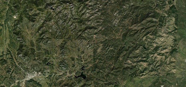
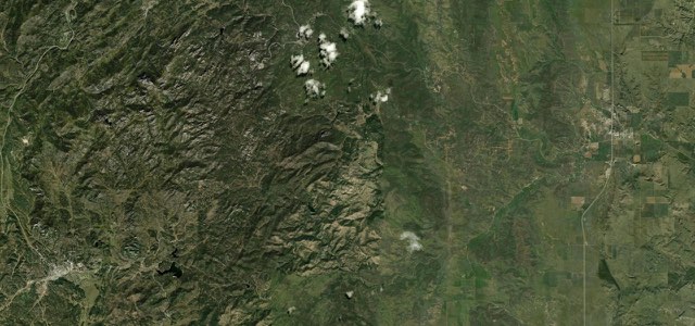
Spearfish Canyon Scenic Byway on the map18.5 mi · point to point
Navigate to the start: Apple Maps · Google Maps
Character
Corners
busiest around mile 4Elevation
under 4%4 to 8%over 8%1,136 to 1,624 mPoints of interest5 stops
- Bridal Veil FallsA cascade of about 60 feet beside a large car park, with a Forest Service observation platform.5.8 mi in
- Latchstring RestaurantRestaurant at Savoy, with parking nearby for the Spearfish Falls trail.13 mi in
- Spearfish FallsWaterfall reached by a short trail from the parking area near the Latchstring Inn.13 mi in
- Roughlock FallsReached from Savoy by Forest Service Road 222, about a mile up Little Spearfish Canyon, with several car parks.13 mi in
- Cheyenne CrossingEnd of the byway at the US 85 junction, with the Cheyenne Crossing Store for a meal and fuel.18 mi in
Hazards
- Landslide repair near Cheyenne Crossing, with single-lane signals until December 2026
- Speed limit of 35 mph, with slow traffic stopping for the scenery
- Shares the road with commercial traffic, so pull completely off to stop
- A few steep shoulder drop-offs along the canyon
- Winter snow, so April to October is the riding season
Sources
“With hiking trails and waterfalls around every curve, Spearfish Canyon also is one of the area’s best scenic drives.”
“Spearfish Canyon Scenic Byway is roughly 22 miles of the most winding road that many bikers will ever venture down.”
“the route makes one of the most perfect fall drives in North America.”
Route traced from OpenStreetMap, with its stats measured from that line. How the roads are mapped
Driving the Spearfish Canyon Scenic Byway: quick answers
How long does it take to drive the Spearfish Canyon Scenic Byway?
How difficult is the Spearfish Canyon Scenic Byway to drive?
When is the best time to drive the Spearfish Canyon Scenic Byway?
Nearby roads
The closest great drives to Spearfish Canyon Scenic Byway.