Wyoming · United States
Snowy Range Scenic Byway
WY 130Centennial to Saratoga
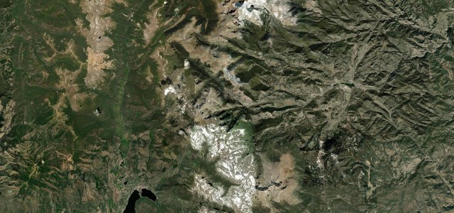
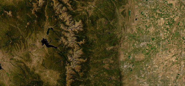
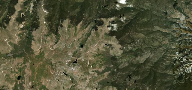
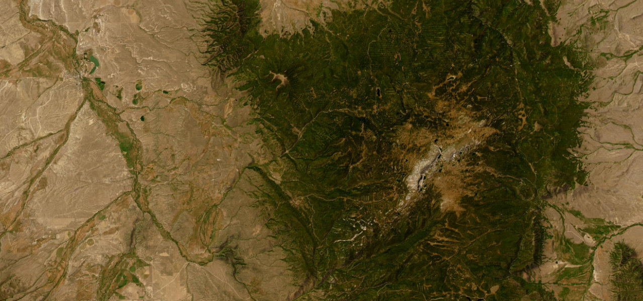
WY 130 climbs west from Centennial across the Medicine Bow Mountains, over a summit above 10,800 feet past Libby Flats, Mirror Lake and Lake Marie, then drops through Ryan Park to the North Platte valley and Saratoga.
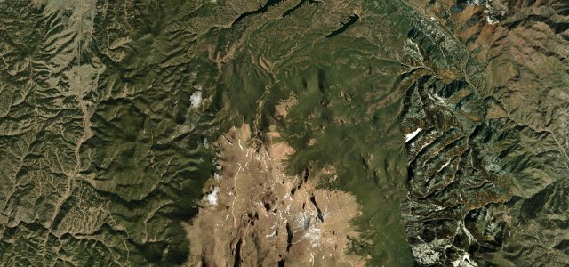
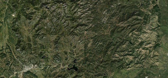
From Centennial, an old mining and timber town, WY 130 runs west and climbs steadily into the Medicine Bow National Forest. It crosses the high ground at Libby Flats, where an observation point looks out to the ranges of Colorado, and tops out above 10,800 feet beside 12,013 ft Medicine Bow Peak. Mirror Lake and Lake Marie lie a short way beyond the pass, with the granite face of Medicine Bow Peak rising above Lake Marie. The road then descends past Ryan Park, joins WY 230 and follows the North Platte River valley north to Saratoga. The 12-mile stretch over the top is closed each winter, and the road is narrow with no passing lanes and 15 to 20 mph limits through the twisty summit section.
Snowy Range Scenic Byway on the map49.0 mi · point to point
Navigate to the start: Apple Maps · Google Maps
Character
Higher than 9 in 10 roads in the catalogue.
Corners
busiest around mile 8Elevation
under 4%4 to 8%over 8%2,069 to 3,306 mPoints of interest5 stops
- Old Corral Hotel and RestaurantHotel and restaurant on the main road through Centennial, the old mining and timber town at the foot of the climb.0.9 mi in
- Libby Flats Observation PointObservation point above 10,000 feet with views of the mountain ranges of Colorado.13 mi in
- Lake MarieLake beneath the granite face of Medicine Bow Peak, which rises above 12,000 feet.15 mi in
- Mirror Lake Picnic AreaPicnic area and parking at Mirror Lake, known for its reflection of the surrounding mountain faces.15 mi in
- Ryan Park CampgroundSite of a Second World War prisoner of war camp, with a self-guided tour.26 mi in
Hazards
- Closed in winter between about mile markers 36 and 48, usually from November to Memorial Day weekend
- Spring snowstorms can leave the pass impassable overnight, even after it reopens
- Narrow road with no passing lanes
- Advisory limits of 15 to 20 mph through the twisty summit section
- Moose and other wildlife on or crossing the road
See the typical season and live conditions for the high passes ›
Sources
“It is one of the first scenic byways designated on National Forest lands, and for good reason.”
“A trip along the Snowy Range Scenic Byway is a must when you visit southeastern Wyoming!”
“This highway has plenty of twisties”
Route traced from OpenStreetMap, with its stats measured from that line. How the roads are mapped
Driving the Snowy Range Scenic Byway: quick answers
How long does it take to drive the Snowy Range Scenic Byway?
How difficult is the Snowy Range Scenic Byway to drive?
When is the best time to drive the Snowy Range Scenic Byway?
Nearby roads
The closest great drives to Snowy Range Scenic Byway.