Colorado · United States
Peak to Peak Scenic Byway
CO 72CO 7Nederland to Estes Park
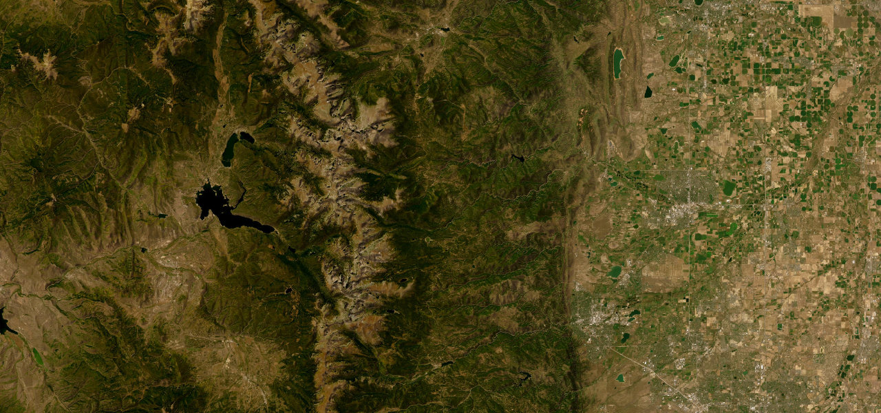
CO 72 and CO 7 run along the Continental Divide from Nederland through Ward and Allenspark to the edge of Estes Park, with aspen forest, the Indian Peaks and views of Longs Peak on Colorado’s oldest scenic byway.
From Nederland, CO 72 heads north through mixed forest to Ward, a small mountain village with a general store, then climbs above 9,000 feet where the views open up. It runs on past the turn for Brainard Lake and the Indian Peaks Wilderness to the junction where CO 7 continues north toward Estes Park. On CO 7 the road passes Allenspark, where the Chapel on the Rock and Saint Catherine of Siena Chapel stand, and the Longs Peak massif dominates the western horizon, with pull-offs for photographs. It then runs below Lily Mountain and drops into Estes Park from the south, and this section ends at the edge of town. The byway was first built in 1918, is paved and kept open all year, and is busiest on autumn weekends.
Peak to Peak Scenic Byway on the map38.2 mi · point to point
Navigate to the start: Apple Maps · Google Maps
Character
Higher than 9 in 10 roads in the catalogue.
Corners
busiest around mile 36Elevation
under 4%4 to 8%over 8%2,352 to 2,847 mPoints of interest5 stops
- New Moon Bakery & CafeBakery and cafe in Nederland, the mountain town at the south end of the byway.at the start
- WardSmall mountain village with a general store, the first town north of Nederland on CO 72.11 mi in
- Meadow Mountain CafeCafe beside CO 7 south of Allenspark.25 mi in
- Saint Catherine’s Chapel on the RockHistoric chapel at Allenspark, with Saint Catherine of Siena Chapel beside it.29 mi in
- Lily Mountain TrailheadParking beside CO 7 below Lily Mountain, near the Estes Park end of the byway.34 mi in
Hazards
- Heavy weekend traffic and full viewpoint parking during the autumn colour season
- Snow is common in winter, with ice in shaded sections
- Sand on the road in early spring
- Colder than Boulder, with the road above 9,000 feet
Sources
“This route brings travelers up close and parallel with the Continental Divide for a tour of ghost towns and Victorian-era opulence, showcasing the Front Range.”
“Running along the Continental Divide from Nederland to Estes Park, the route delivers constant mountain views, historic mining towns, and access to some of the Front Range”
“Less than an hour from Denver, Boulder, or Fort Collins, this 55-mile-long route provides matchless views of the Continental Divide and its timbered approaches.”
Route traced from OpenStreetMap, with its stats measured from that line. How the roads are mapped
Driving the Peak to Peak Scenic Byway: quick answers
How long does it take to drive the Peak to Peak Scenic Byway?
How difficult is the Peak to Peak Scenic Byway to drive?
When is the best time to drive the Peak to Peak Scenic Byway?
Nearby roads
The closest great drives to Peak to Peak Scenic Byway.