State guide
 The best driving roads in Colorado
6 hand-picked driving roads in Colorado, every one mapped from real geometry and fact-checked, including 3 world icons.
Roads63 world icons
Combined154 mi248 km of driving
High point4,325.5 m14,191 ft
The roads
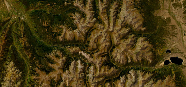
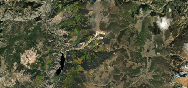 Slumgullion Pass15 mi · 32 min · 3,521 m summitView the roadbook ›
More states
Driving in Colorado: common questions
What is the best driving road in Colorado?
Slumgullion Pass is the place to start. Steep San Juan climb on the Silver Thread Byway
How many great driving roads does Colorado have?
6 hand-picked and fact-checked roads, 154 miles of driving in all, every one mapped from real road geometry.
What is the highest road in Colorado?
Mount Blue Sky Road is the highest, climbing to about 4,326 m (14,193 ft).