State guide
 The best driving roads in Oregon
5 hand-picked driving roads in Oregon, every one mapped from real geometry and fact-checked.
Roads5hand-picked
Combined149 mi240 km of driving
High point2,353 m7,720 ft
The roads
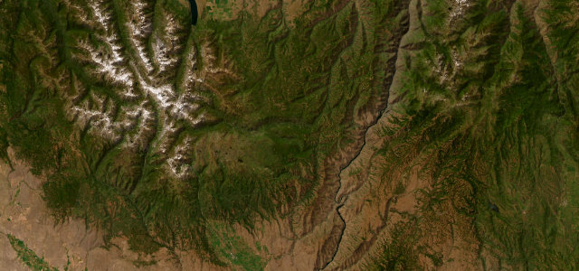 Hells Canyon Scenic Byway (Forest Road 39)48 mi · 1 h 40 min · 1,853 m summitView the roadbook ›
More states
Driving in Oregon: common questions
What is the best driving road in Oregon?
Hells Canyon Scenic Byway (Forest Road 39) is the place to start. Forest Road 39 over the Wallowas toward the deepest canyon in North America
How many great driving roads does Oregon have?
5 hand-picked and fact-checked roads, 149 miles of driving in all, every one mapped from real road geometry.
What is the highest road in Oregon?
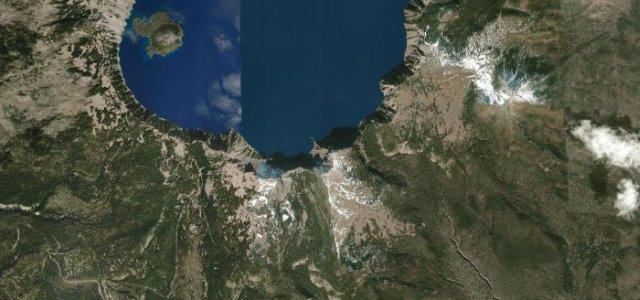
Crater Lake Rim Drive is the highest, climbing to about 2,353 m (7,720 ft).