Oregon · United States
Hells Canyon Scenic Byway (Forest Road 39)
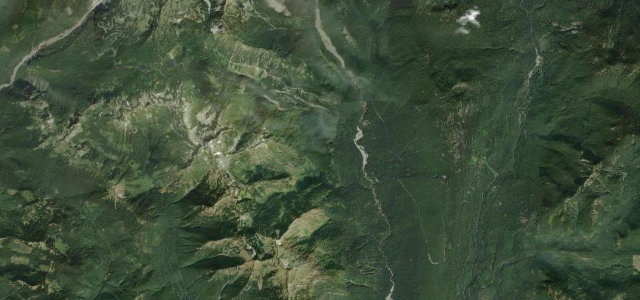
NF 39Halfway to Imnaha
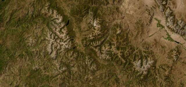
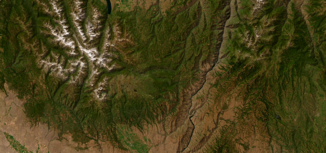
Forest Road 39 over the Wallowas toward the deepest canyon in North America.
Forest Road 39 is the wild heart of the Hells Canyon All-American Road, linking OR-86 near Halfway with the Imnaha country toward Joseph across the eastern flank of the Wallowa Mountains. It is paved but narrow and lightly travelled, with long stretches and no fuel or services, and a short spur leads to the Hells Canyon Overlook above the Snake River. The road is closed by snow from roughly mid-October to mid-May. Mind the lack of guardrails on the high sections, deer and cattle on the road, and over eighty miles without fuel or services.
Scenery
Best seasons
In these collections
Where it runs47.9 mi · point to point
Navigate to the start: Apple Maps · Google Maps
Character
Corners
busiest around mile 32Elevation
under 4%4–8%over 8%693.4 – 1,863.1 mPoints of interest2 stops
- Hells Canyon OverlookViewpoint20 mi in
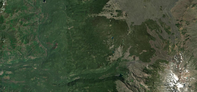
- Salt Creek SummitLandmark43 mi in
Hazards
- No guardrails on high sections
- Deer and cattle
- No fuel for 80+ miles
- Closed by snow roughly mid-October to mid-May
Is Hells Canyon Scenic Byway (Forest Road 39) open? Typical season and live summit weather ›
Sources
“breathtaking beauty of rugged mountains, the mighty Snake River, alpine terrain and evergreen forest”
Verified route: mapped from real road geometry and fact-checked by a human editor. How roads get checked
Driving the Hells Canyon Scenic Byway (Forest Road 39): quick answers
How long does it take to drive the Hells Canyon Scenic Byway (Forest Road 39)?
How difficult is the Hells Canyon Scenic Byway (Forest Road 39) to drive?
When is the best time to drive the Hells Canyon Scenic Byway (Forest Road 39)?
Nearby roads
The closest great drives to Hells Canyon Scenic Byway (Forest Road 39).