Idaho · United States
Lolo Pass
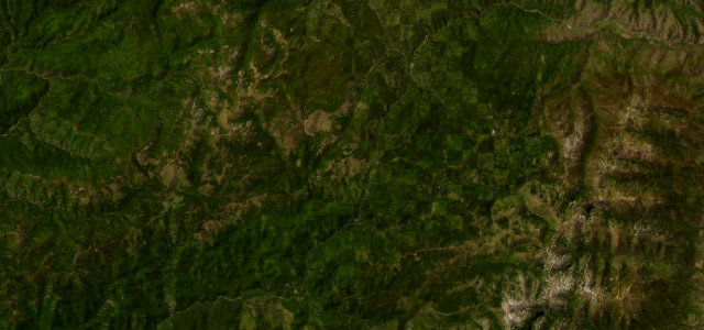
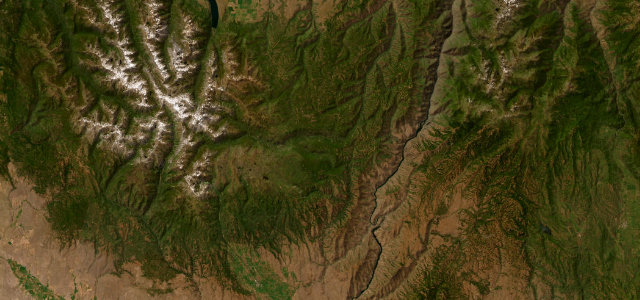
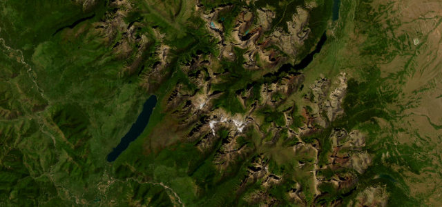
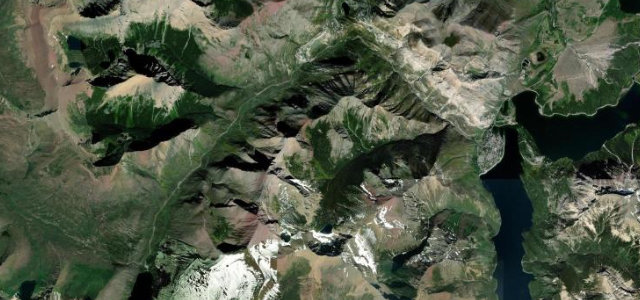
US 12Lolo to Kooskia
Winding river-canyon climb over the Bitterroot crest.
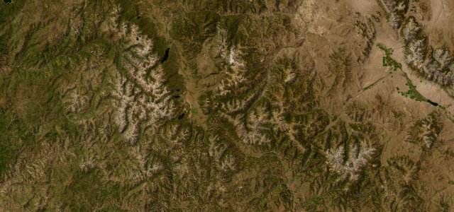
US 12 follows the Lochsa River and climbs to Lolo Pass at 5,233 feet on the Idaho-Montana line. The two-lane road is paved and famously signed for ninety-nine miles of curves through forested Rocky Mountain canyon. Mind the limited services, logging trucks, and winter snow.
Where it runs21.4 mi · point to point
LoloStart · Idaho
KooskiaEnd · Idaho
Navigate to the start: Apple Maps · Google Maps
Character
Corners90bends
Tightness5of 10
Max gradient7%≈ 1-in-14
Climb538 mtotal ascent
Summit1,595.7 mhighest point of the line · 5,235 ft
Corners
busiest around mile 20Elevation
under 4%4–8%over 8%1,082.6 – 1,595.7 mFrom the road
Points of interest1 stop
- Lolo PassViewpoint12 mi in
Hazards
- Logging and freight trucks
- Few services for miles
- Winter snow and ice
Sources
“It's one of the best motorcycle roads in the country, with plenty of sweeping curves and a few tight ones.”
Verified route: mapped from real road geometry and fact-checked by a human editor. How roads get checked
Driving the Lolo Pass: quick answers
How long does it take to drive the Lolo Pass?
Lolo Pass runs 21.4 miles (34 km) and takes about 43 min to drive without stops.
How difficult is the Lolo Pass to drive?
We rate it moderate: 90 corners, a maximum gradient of 7%, and a tightness of 5 out of 10.
When is the best time to drive the Lolo Pass?
Summer and Autumn are best.
Nearby roads
The closest great drives to Lolo Pass.
Lolo Pass
DirectionsGet the app