Alberta · Canada
Akamina Parkway
Waterton townsite to Cameron Lake
A winding 16 km climb from Waterton townsite up the Cameron Valley to Cameron Lake.
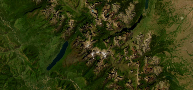
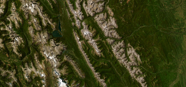
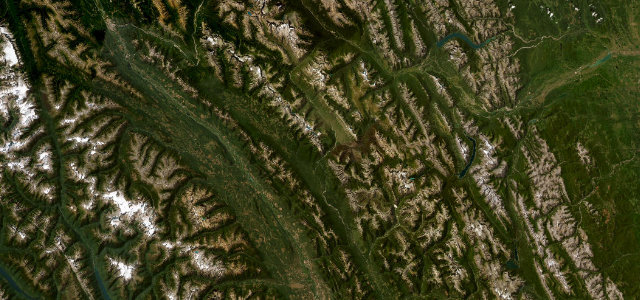
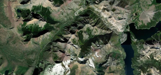
The Akamina Parkway twists out of Waterton townsite and follows the Cameron Valley for 16 km to a glacial lake hemmed by peaks on the Continental Divide, in the Waterton-Glacier International Peace Park UNESCO site. It is a narrow, sinuous national-park road with tight curves, frequent viewpoints and the first oil well in western Canada along the way, best driven slowly. The corners come steadily and the verges are soft. Mind tight blind bends, abundant bears and deer beside the road, and rockfall on the inner shoulders.
Scenery
Best seasons
In these collections
Where it runs9.5 mi · point to point
Navigate to the start: Apple Maps · Google Maps
Character
Corners
busiest around mile 1Elevation
under 4%4–8%over 8%1,288.3 – 1,687 mFrom the road
Points of interest2 stops
- First Oil Well In Western CanadaLandmark4.9 mi in
- Cameron FallsLandmark0.5 mi in
Hazards
- Tight blind bends
- Bears and deer roadside
- Rockfall on shoulders
Sources
“The Akamina Parkway is a winding mountain road which starts in the Waterton townsite and runs 16 km along the Cameron Valley, ending at Cameron Lake.”
Verified route: mapped from real road geometry and fact-checked by a human editor. How roads get checked
Driving the Akamina Parkway: quick answers
How long does it take to drive the Akamina Parkway?
How difficult is the Akamina Parkway to drive?
When is the best time to drive the Akamina Parkway?
Nearby roads
The closest great drives to Akamina Parkway.