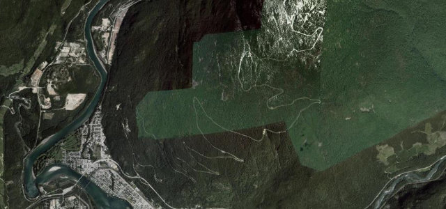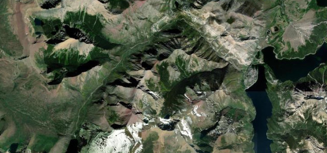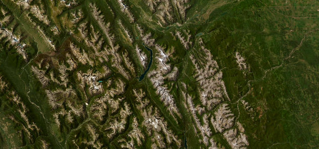
Kananaskis Country, Alberta · Canada
Smith-Dorrien / Spray Lakes Trail
AB 742Canmore to Peter Lougheed Provincial Park
A wild gravel run through the heart of Kananaskis, hugging the Spray Lakes reservoir between Canmore and Peter Lougheed Provincial Park.
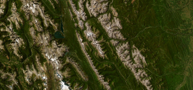
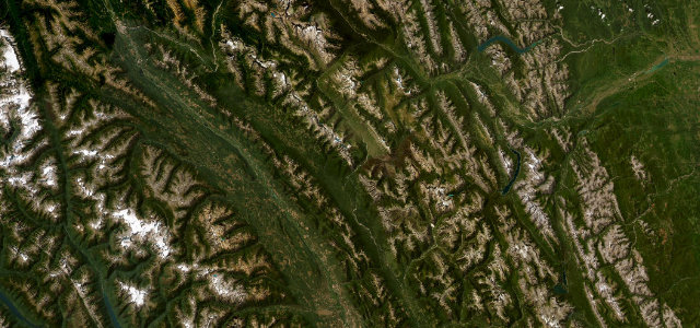
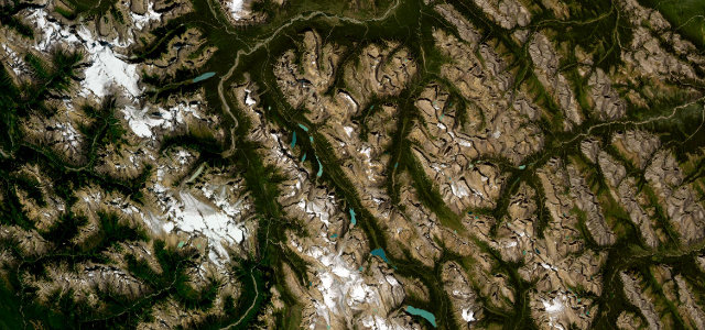
Highway 742, the Smith-Dorrien / Spray Lakes Trail, is a 60 km gravel road linking Canmore over a high shoulder to Peter Lougheed Provincial Park, running the length of the Spray Lakes reservoir under a wall of Rockies peaks. It is unpaved the whole way, often dusty and washboarded in summer, but it is one of the most scenic and wildlife-rich drives in Kananaskis Country, with moose, bears, bighorn sheep and goats regularly seen along it. The grades are gentle and the corners broad; the challenge is the loose surface and the remoteness rather than technical difficulty. Mind the loose washboard gravel and flying stones, the lack of services or reliable signal, and wildlife on the road.
Where it runs34.8 mi · point to point
Navigate to the start: Apple Maps · Google Maps
Character
Corners
busiest around mile 5Elevation
under 4%4–8%over 8%1,490.4 – 1,908.8 mPoints of interest1 stop
- Blackshale Creek Suspension BridgeLandmark33 mi in
Hazards
- Loose washboard gravel and flying stones
- No services or reliable phone signal
- Moose and bears on the road
Sources
“If you love to drive, you'll love the road to Smith-Dorrien Pass”
Verified route: mapped from real road geometry and fact-checked by a human editor. How roads get checked
Driving the Smith-Dorrien / Spray Lakes Trail: quick answers
How long does it take to drive the Smith-Dorrien / Spray Lakes Trail?
How difficult is the Smith-Dorrien / Spray Lakes Trail to drive?
When is the best time to drive the Smith-Dorrien / Spray Lakes Trail?
Is the Smith-Dorrien / Spray Lakes Trail fully paved?
Nearby roads
The closest great drives to Smith-Dorrien / Spray Lakes Trail.