British Columbia · Canada
Rogers Pass
1Revelstoke to Golden
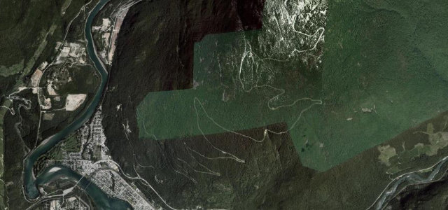
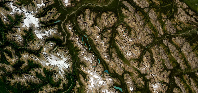
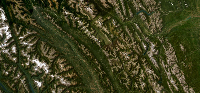
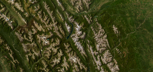
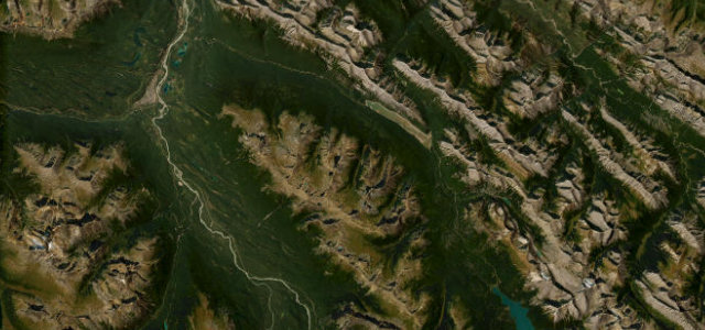
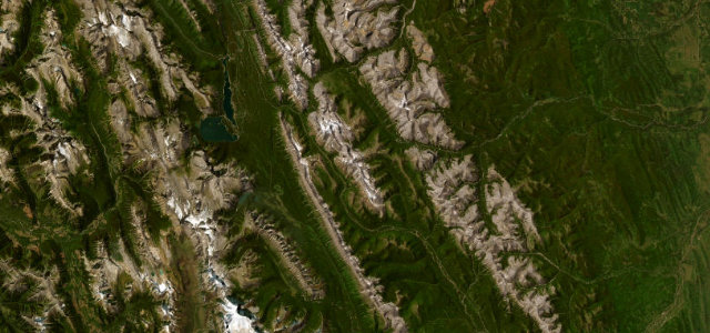
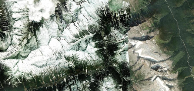
The Trans-Canada crosses the Selkirks at 1,330 metres through Glacier National Park, kept open by snowsheds and the world’s largest mobile avalanche-control programme, howitzers and all. A road defended by artillery tells you exactly what winter throws at it.
The Trans-Canada Highway crosses Rogers Pass at 1,330 metres through Glacier National Park, completed across the pass in 1962. The corridor is protected by snowsheds and the world’s largest mobile avalanche-control program, using howitzers to trigger slides. Mind the winter avalanche closures, snowshed tunnels and steep transport-truck traffic.
Where it runs9.6 mi · point to point
Navigate to the start: Apple Maps · Google Maps
Character
Corners
busiest around mile 4Elevation
under 4%4–8%over 8%1,069 – 1,332.6 mFrom the road
Points of interest1 stop
- Rogers PassViewpoint5.5 mi in
Hazards
- Winter avalanche closures
- Snowshed tunnels
- Heavy truck traffic
See the typical season and live conditions for the high passes ›
Sources
“The spectacularly scenic high point, however, is Rogers Pass; the vista from the summit of this pass through the Selkirk Mountains is jaw-dropping.”
Verified route: mapped from real road geometry and fact-checked by a human editor. How roads get checked
Driving the Rogers Pass: quick answers
How long does it take to drive the Rogers Pass?
How difficult is the Rogers Pass to drive?
When is the best time to drive the Rogers Pass?
Nearby roads
The closest great drives to Rogers Pass.