British Columbia · Canada
Banff-Windermere Parkway
BC 93Castle Junction to Radium Hot Springs
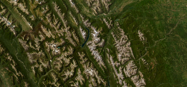
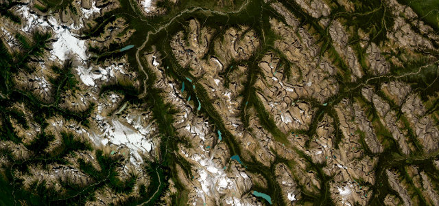
Opened in 1923 as the first motor road across the central Rockies, 105 kilometres from Castle Junction over the Continental Divide at Vermilion Pass to Radium Hot Springs. The finale drops past Marble Canyon and the Paint Pots into Sinclair Canyon.
Opened in 1923 as the first motor road across the central Rockies, this 105 kilometre route runs between the Trans-Canada near Castle Junction and Radium Hot Springs. It crosses the Continental Divide at Vermilion Pass, then descends past Marble Canyon and the Paint Pots into Sinclair Canyon. Mind the wildlife, two mountain passes and post-wildfire rockfall.
Scenery
Best seasons
In these collections
Where it runs65.2 mi · point to point
Navigate to the start: Apple Maps · Google Maps
Character
Corners
busiest around mile 64Elevation
under 4%4–8%over 8%888.1 – 1,743.6 mFrom the road
Points of interest3 stops
- Castle Junction Bridge ViewpointViewpoint0.4 mi in
- Hector Gorge ViewpointViewpoint36 mi in
- Kootenay Valley ViewpointViewpoint55 mi in
Hazards
- Wildlife on road
- Rockfall in burn areas
- Sudden mountain weather
Sources
“your eyes will revel in views of milky green rivers, lush grassy meadows, tree-covered hills, and craggy, snowcapped peaks”
Verified route: mapped from real road geometry and fact-checked by a human editor. How roads get checked
Driving the Banff-Windermere Parkway: quick answers
How long does it take to drive the Banff-Windermere Parkway?
How difficult is the Banff-Windermere Parkway to drive?
When is the best time to drive the Banff-Windermere Parkway?
Nearby roads
The closest great drives to Banff-Windermere Parkway.