Alberta · Canada
Icefields Parkway
AB 93Lake Louise to Jasper
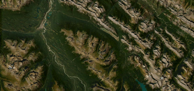
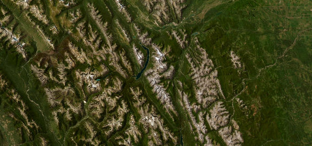
Lake Louise to Jasper past the Columbia Icefield, over Bow Summit and Sunwapta Pass, with glacier-fed lakes and 3,000-metre peaks for company the whole way. Completed in 1940 and still the benchmark for what a mountain road should be.
Completed in 1940, this parkway threads the Continental Divide past the Columbia Icefield, glacier-fed lakes and peaks over 3,000 metres. The mapped section runs the full length from the Lake Louise junction to Jasper, climbing over Bow Summit and Sunwapta Pass, passing Bow Lake, Peyto Lake and Saskatchewan River Crossing. Mind the wildlife on the road, sudden alpine weather and a Parks Canada pass requirement.
Long, easy sweeps between walls of rock and ice, glaciers overhead and turquoise lakes flashing past. An unhurried glide that turns the windscreen into a moving postcard.
Why we picked it
Scenery
Best seasons
In these collections
In these guides
Where it runs127.0 mi · point to point
Navigate to the start: Apple Maps · Google Maps
Character
Corners
busiest around mile 54Elevation
under 4%4–8%over 8%1,041 – 2,079 mFrom the road
Points of interest3 stops
- Crowfoot Glacier ViewpointViewpoint6.4 mi in
- Snowbird Glacier LookoutViewpoint15 mi in
- Mount Wilson OverlookViewpoint29 mi in
Hazards
- Wildlife on road
- Sudden alpine weather
- No fuel for long stretches
Sources
“one of National Geographic's Drives of a Lifetime”
Verified route: mapped from real road geometry and fact-checked by a human editor. How roads get checked
Driving the Icefields Parkway: quick answers
How long does it take to drive the Icefields Parkway?
How difficult is the Icefields Parkway to drive?
When is the best time to drive the Icefields Parkway?
Nearby roads
The closest great drives to Icefields Parkway.