Alberta · Canada
Highwood Pass
AB 40Kananaskis to Longview
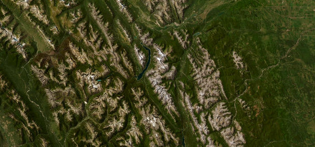
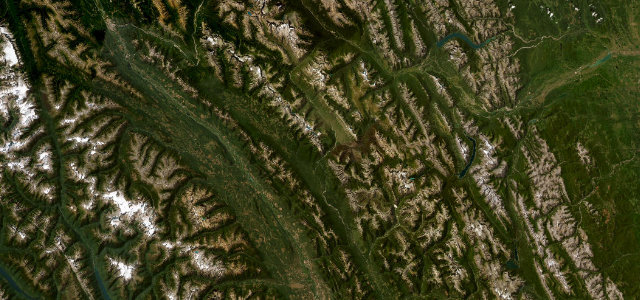
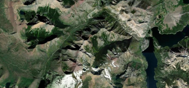
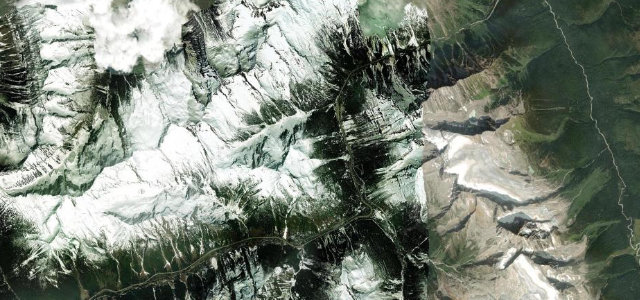
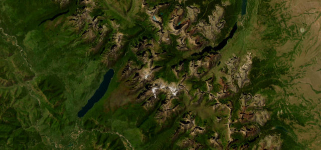
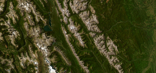
The highest paved road in Canada, winding through Kananaskis to Highwood Pass at 2,206 m with alpine meadows and big peaks for company. Shut from December to mid-June, which only makes us want it more.
AB 40 climbs to Highwood Pass at 2,206 metres in Kananaskis Country, the highest paved road in Canada. The route winds through Peter Lougheed Provincial Park past alpine meadows and peaks before descending to the Highwood House junction. Mind the long winter closure from December to mid-June, wildlife, and sudden alpine weather.
Where it runs25.8 mi · point to point
Navigate to the start: Apple Maps · Google Maps
Character
The highest road in Canada, by our count in the catalogue.
Corners
busiest around mile 13Elevation
under 4%4–8%over 8%1,671.9 – 2,218.3 mFrom the road
Points of interest1 stop
- Highwood PassViewpoint10 mi in
Hazards
- Closed December to mid-June
- Wildlife on the road
- Sudden alpine weather
Is Highwood Pass open? Typical season and live summit weather ›
Sources
“the road rewards the drivers with one of the most varied and picturesque drives of the country”
Verified route: mapped from real road geometry and fact-checked by a human editor. How roads get checked
Driving the Highwood Pass: quick answers
How long does it take to drive the Highwood Pass?
How difficult is the Highwood Pass to drive?
When is the best time to drive the Highwood Pass?
Nearby roads
The closest great drives to Highwood Pass.