British Columbia · Canada
Kootenay Skyway (Crowsnest Highway)
BC 3Salmo to Creston
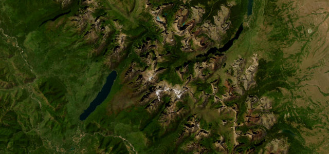
Salmo to Creston over one of Canada’s highest year-round passes, the Salmo-Creston Skyway.
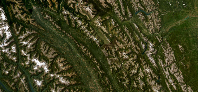
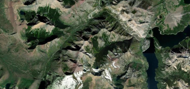
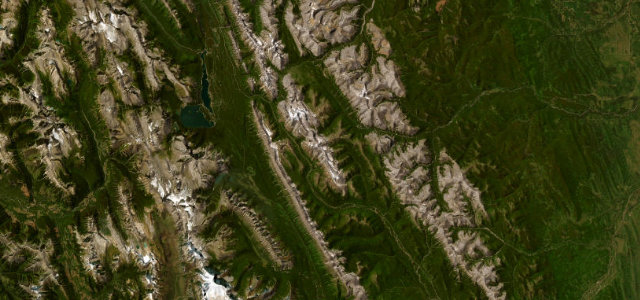
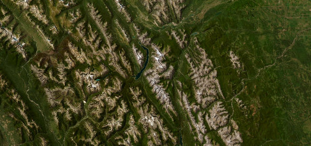
The Salmo-Creston section of Highway 3 climbs from Salmo over Kootenay Pass at 1,775 m, one of the highest paved highway passes in Canada kept open all year, then drops to the Creston valley. It is a fast, sweeping mountain road through the Selkirks with long sightlines and steady grades rather than hairpins, which is why it has long been a favourite alternative to the busy Trans-Canada. Snowsheds, summit avalanche control and a remote 70 km with no services set the tone. Mind winter avalanche closures, sudden whiteouts near the summit, and wandering wildlife on the descents.
Scenery
Best seasons
In these collections
Where it runs51.3 mi · point to point
Navigate to the start: Apple Maps · Google Maps
Character
Corners
busiest around mile 9Elevation
under 4%4–8%over 8%532.4 – 1,776.6 mFrom the road
Points of interest3 stops
- Kootenay PassViewpoint23 mi in
- Rotary Park MonumentLandmark51 mi in
- Ralph’s GroveLandmark28 mi in
Hazards
- Winter avalanche closures
- Summit whiteouts
- Wildlife on descents
See the typical season and live conditions for the high passes ›
Sources
“it offers a picturesque journey through a region characterized by expansive lakes and towering mountains”
Verified route: mapped from real road geometry and fact-checked by a human editor. How roads get checked
Driving the Kootenay Skyway (Crowsnest Highway): quick answers
How long does it take to drive the Kootenay Skyway (Crowsnest Highway)?
How difficult is the Kootenay Skyway (Crowsnest Highway) to drive?
When is the best time to drive the Kootenay Skyway (Crowsnest Highway)?
Nearby roads
The closest great drives to Kootenay Skyway (Crowsnest Highway).