British Columbia · Canada
Meadows-in-the-Sky Parkway
Revelstoke (Trans-Canada junction) to Mount Revelstoke summit meadows
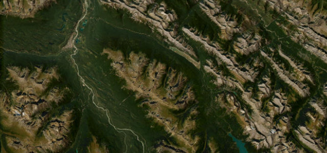
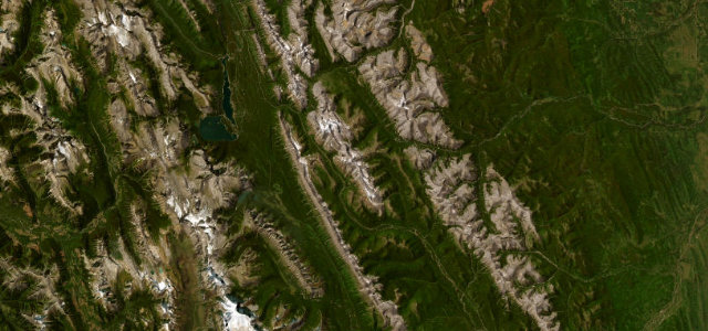
A switchback paved climb up Mount Revelstoke from the Trans-Canada into subalpine wildflower meadows, with 16 hairpins.
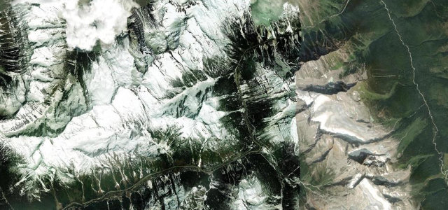
The Meadows-in-the-Sky Parkway leaves the Trans-Canada at Revelstoke and climbs the side of Mount Revelstoke on a narrow, fully paved road of 16 tight switchbacks, gaining well over a kilometre of altitude through cedar and hemlock forest into the famous subalpine wildflower meadows near the summit. It is a rare chance to drive a paved mountain road right up into the alpine, with viewpoints over the Columbia Valley on the way. The road only opens once the snow has cleared, roughly May to October, and the wildflowers peak in late summer. Long vehicles and trailers are banned because of the tight bends. Mind the narrow switchbacks with limited passing, late-lying snow and a short open season, and cyclists and wildlife on the climb.
Where it runs15.3 mi · point to point
Navigate to the start: Apple Maps · Google Maps
Character
The most hairpins in Canada, by our count in the catalogue.
Corners
busiest around mile 3Elevation
under 4%4–8%over 8%509.1 – 1,839 mFrom the road
Points of interest3 stops
- Revelstoke ViewpointViewpoint3.5 mi in
- Columbia ViewpointViewpoint7.4 mi in
- Eagle PassViewpoint8.3 mi in
Hazards
- Narrow switchbacks with limited passing
- Late-lying snow and short open season
- Cyclists and wildlife on the climb
Sources
“Winding 26 kilometres uphill, the Meadows in the Sky Parkway takes you through forests of cedar and hemlock, spruce and fir to the renowned subalpine wildflower meadows of Mount Revelstoke National Park.”
Verified route: mapped from real road geometry and fact-checked by a human editor. How roads get checked
Driving the Meadows-in-the-Sky Parkway: quick answers
How long does it take to drive the Meadows-in-the-Sky Parkway?
How difficult is the Meadows-in-the-Sky Parkway to drive?
When is the best time to drive the Meadows-in-the-Sky Parkway?
Nearby roads
The closest great drives to Meadows-in-the-Sky Parkway.