Alberta · Canada
Maligne Lake Road
Jasper to Maligne Lake
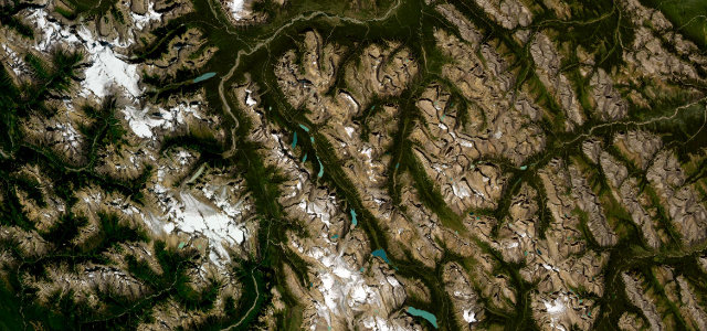
Out of Jasper and up a glacier-carved valley, past Maligne Canyon and Medicine Lake to the turquoise water of Maligne Lake itself. The corners are gentle and the traffic jams are elk and bighorn sheep, and honestly we’re fine with that.
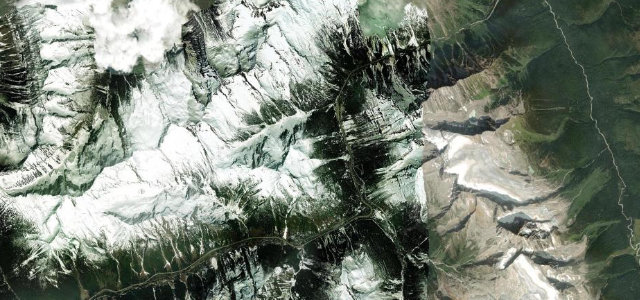
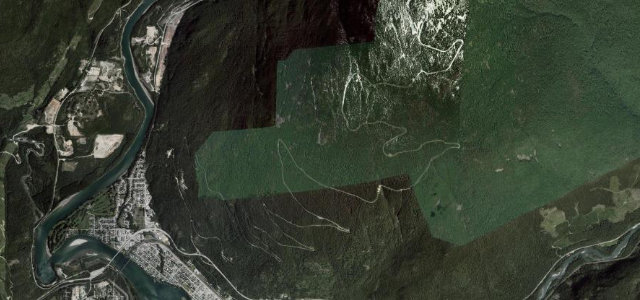
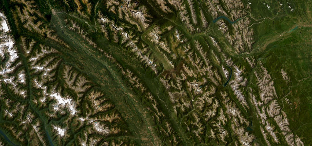
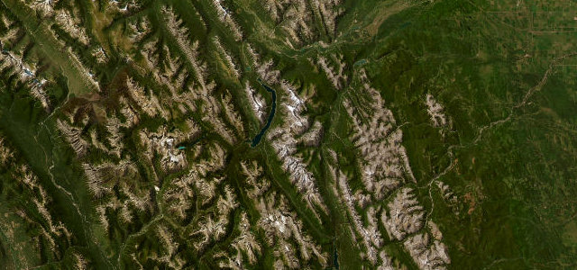
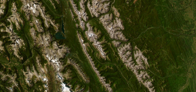
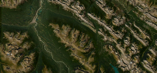
Maligne Lake Road runs from near Jasper up a glacier-carved valley to Maligne Lake, passing Medicine Lake and Maligne Canyon. The paved route is famed for wildlife including elk, bighorn sheep, and bears alongside turquoise water and peaks. Mind the wildlife on the road, no fuel along the way, and winter snow.
Scenery
Best seasons
In these collections
Where it runs24.4 mi · point to point
Navigate to the start: Apple Maps · Google Maps
Character
Corners
busiest around mile 24Elevation
under 4%4–8%over 8%1,131.5 – 1,729 mFrom the road
Points of interest2 stops
- Medicine LakeViewpoint9.9 mi in
- Maligne CanyonLandmark0.6 mi in
Hazards
- Wildlife on the road
- No services or fuel
- Winter snow and ice
Sources
“It is as challenging as it is scenic, with breathtaking views along the way.”
Verified route: mapped from real road geometry and fact-checked by a human editor. How roads get checked
Driving the Maligne Lake Road: quick answers
How long does it take to drive the Maligne Lake Road?
How difficult is the Maligne Lake Road to drive?
When is the best time to drive the Maligne Lake Road?
Nearby roads
The closest great drives to Maligne Lake Road.