Oregon · United States
Cascade Lakes Highway
OR 372CR 46Bend to Crescent
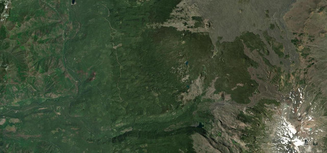
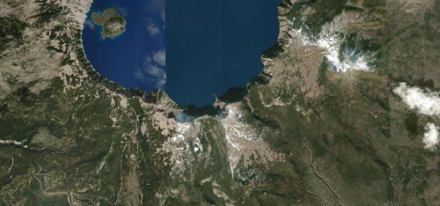
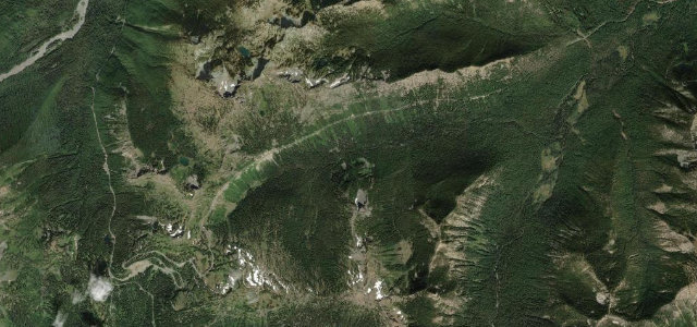
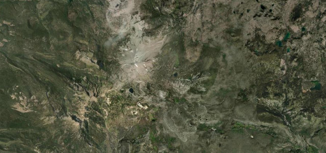
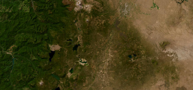
Sixty-six miles out of Bend past Mount Bachelor and a chain of alpine lakes, Broken Top and the Three Sisters on the horizon before the road turns south through lava country.
The Cascade Lakes Scenic Byway runs about 66 miles from Bend along Century Drive and Forest Road 46 past Mount Bachelor and a chain of alpine lakes to Highway 58. The paved route gives views of Broken Top and the Three Sisters before turning south through lava country. Mind the winter closure beyond Mount Bachelor, deer and elk near dusk, and snow lingering into early summer.
Where it runs68.3 mi · point to point
Navigate to the start: Apple Maps · Google Maps
Character
Corners
busiest around mile 1Elevation
under 4%4–8%over 8%1,112 – 1,952.8 mPoints of interest2 stops
- Devils LakeLandmark26 mi in
- Crane Prairie ReservoirLandmark49 mi in
Hazards
- Closed beyond Mount Bachelor in winter
- Deer and elk near dusk
- Snow lingering into early summer
Is Cascade Lakes Highway open? Typical season and live summit weather ›
Sources
“take your time and enjoy the unparalleled Cascades scenery”
Verified route: mapped from real road geometry and fact-checked by a human editor. How roads get checked
Driving the Cascade Lakes Highway: quick answers
How long does it take to drive the Cascade Lakes Highway?
How difficult is the Cascade Lakes Highway to drive?
When is the best time to drive the Cascade Lakes Highway?
Nearby roads
The closest great drives to Cascade Lakes Highway.