State guide
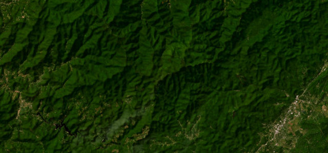
 The best driving roads in North Carolina
7 hand-picked driving roads in North Carolina, every one mapped from real geometry and fact-checked, including 2 world icons.
Roads72 world icons
Combined143 mi230 km of driving
High point1,952 m6,404 ft
The roads
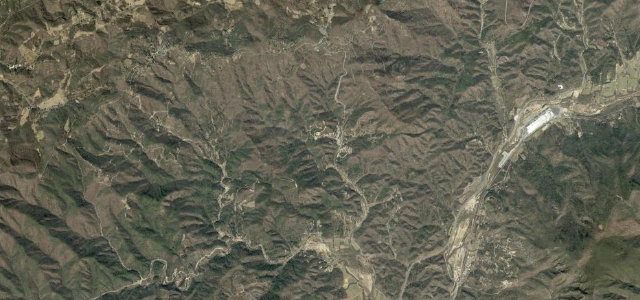 The Diamondback12 mi · 28 min · 1,082 m summitView the roadbook ›
Blue Ridge Parkway Linn Cove
Tail of the Dragon
Moonshiner 28
Balsam Grove
Mount Mitchell Summit Road
Devil's Whip
More states
Driving in North Carolina: common questions
What is the best driving road in North Carolina?
The Diamondback is the place to start. Twelve miles of relentless switchbacks dropping off the ridge at Little Switzerland.
How many great driving roads does North Carolina have?
7 hand-picked and fact-checked roads, 143 miles of driving in all, every one mapped from real road geometry.
What is the highest road in North Carolina?
Mount Mitchell Summit Road is the highest, climbing to about 1,952 m (6,404 ft).