State guide
 The best driving roads in California
12 hand-picked driving roads in California, every one mapped from real geometry and fact-checked, including 3 world icons.
Roads123 world icons
Combined361 mi581 km of driving
High point3,036 m9,961 ft
The roads
 Mount Hamilton Road19 mi · 42 min · 7 hairpinsView the roadbook ›
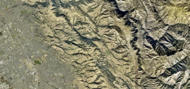
Angeles Crest Highway
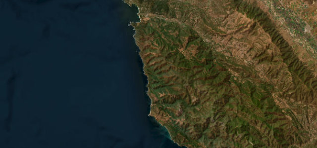
Pacific Coast Highway, Big Sur
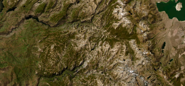
Tioga Pass
Whitney Portal Road
Rim of the World Highway
Lassen Park Highway
Ebbetts Pass
Glacier Point Road
Avenue of the Giants
Kings Canyon Scenic Byway
Sonora Pass
More states
Driving in California: common questions
What is the best driving road in California?
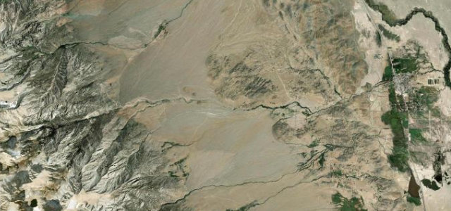
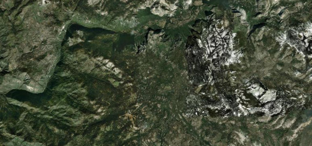
Mount Hamilton Road is the place to start. Endless switchbacks from San Jose up to Lick Observatory on Mount Hamilton
How many great driving roads does California have?
12 hand-picked and fact-checked roads, 361 miles of driving in all, every one mapped from real road geometry.
What is the highest road in California?
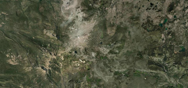
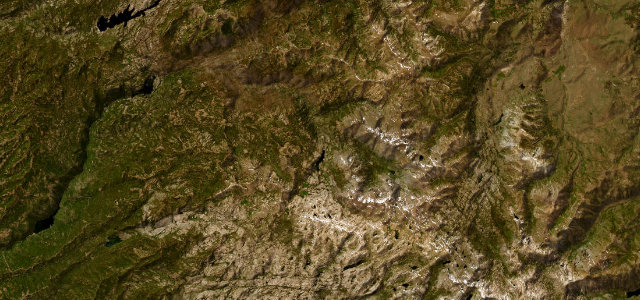
Tioga Pass is the highest, climbing to about 3,036 m (9,961 ft).