California · United States
Whitney Portal Road
Lone Pine to Whitney Portal
A short, dramatic switchback climb out of Lone Pine through the Alabama Hills to the foot of Mount Whitney, the highest peak in the lower 48.
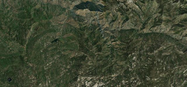
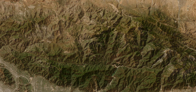
Whitney Portal Road leaves Lone Pine on the Owens Valley floor and runs about thirteen miles west to Whitney Portal at roughly 8,360 feet, the trailhead for Mount Whitney. The lower miles thread the boulder mazes of the Alabama Hills, a film-location landscape that has stood in for countless Westerns, before the road steepens into a series of tight, exposed switchbacks pinned to the granite east face of the Sierra. The views back over Owens Valley and Owens Lake are enormous, and the contrast between high desert and alpine granite is abrupt. The road is a county route with no state number, paved but not winter-maintained, typically open from May until the first heavy snow closes the upper grade. Mind the unguarded switchback edges, the rockfall on the upper section, and the lack of snow clearing late and early in the season.
Scenery
Best seasons
In these collections
In these guides
Where it runs11.7 mi · point to point
Navigate to the start: Apple Maps · Google Maps
Character
Corners
busiest around mile 11Elevation
under 4%4–8%over 8%1,137.8 – 2,537.9 mPoints of interest2 stops
- Mount Whitney Pack TrainsLandmark0.4 mi in
- Cousin JackLandmark0.7 mi in
Hazards
- Unguarded switchback edges
- Rockfall on the upper grade
- No winter snow clearing
Sources
“The vistas change dramatically as you draw closer to the mountains, seeming more and more massive until suddenly they overwhelm you.”
Verified route: mapped from real road geometry and fact-checked by a human editor. How roads get checked
Driving the Whitney Portal Road: quick answers
How long does it take to drive the Whitney Portal Road?
How difficult is the Whitney Portal Road to drive?
When is the best time to drive the Whitney Portal Road?
Nearby roads
The closest great drives to Whitney Portal Road.