California · United States
Tioga Pass
CA 120SR 120Crane Flat to Lee Vining
Yosemite’s high country crossing, the highest highway pass in the Sierra Nevada.
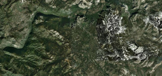
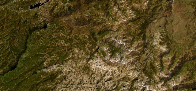
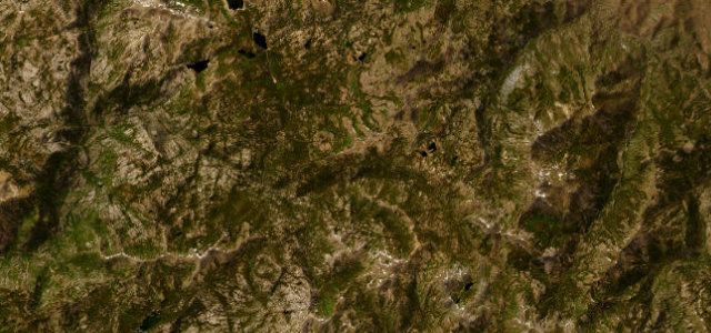
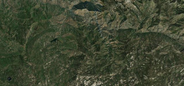
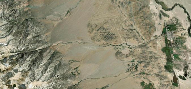
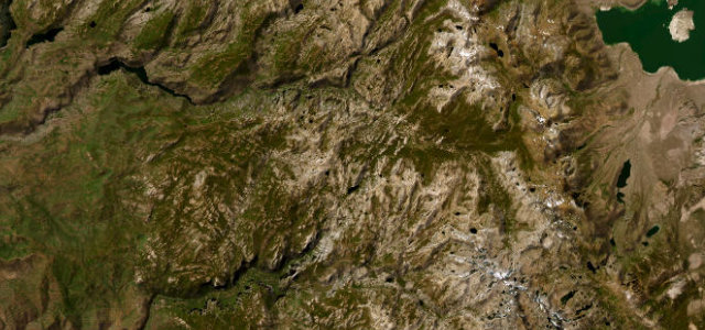
CA 120 climbs east through Yosemite’s high country from Crane Flat to Tioga Pass and down toward Lee Vining, threading granite domes, alpine meadows and the shore of Tenaya Lake at about 8,150 ft, topping out near 10,000 ft at the pass. Open only in summer; mind the altitude, the wildlife, and the long descent on the eastern side.
The hardest-earned way into Yosemite. The road climbs from sagebrush into thin granite air, past Tenaya Lake, and the high country just opens up around you.
Why we picked it
Scenery
Best seasons
In these collections
In these guides
Where it runs58.4 mi · point to point
Navigate to the start: Apple Maps · Google Maps
Character
Higher than 9 in 10 roads in the catalogue.
Corners
busiest around mile 1Elevation
under 4%4–8%over 8%1,878.4 – 3,033 mFrom the road
Points of interest3 stops
- View on Tenaya LakeViewpoint29 mi in
- Disappearing MeadowsViewpoint43 mi in
- Ellery Lake LookoutViewpoint49 mi in
Hazards
- Closed most of the year by snow
- High altitude
- Wildlife and stopping sightseers
Is Tioga Pass open? Typical season and live summit weather ›
Sources
“one of the best drives in California”
Verified route: mapped from real road geometry and fact-checked by a human editor. How roads get checked
Driving the Tioga Pass: quick answers
How long does it take to drive the Tioga Pass?
How difficult is the Tioga Pass to drive?
When is the best time to drive the Tioga Pass?
Nearby roads
The closest great drives to Tioga Pass.