California · United States
Sonora Pass
CA 108SR 108Strawberry to Sonora Junction
A Sierra crossing that never got tamed, climbing past 9,600 ft with narrow, barrier-free stretches and pitches near the summit that bite at 24 per cent.
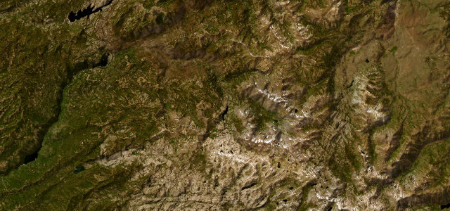
CA 108 over Sonora Pass is one of the steepest and least-tamed Sierra crossings, climbing past 9,600 ft on a narrow, twisting ribbon with pitches that bite hard at the summit. Open only in the warmer months; mind the abrupt gradients, the narrow sections without barriers, and the high-altitude weather.
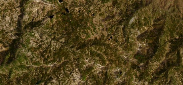
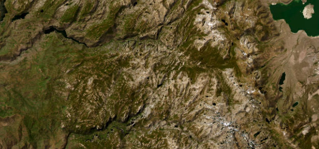
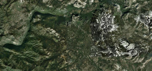
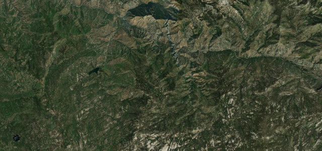
Where it runs49.0 mi · point to point
Navigate to the start: Apple Maps · Google Maps
Character
Steeper than 9 in 10 roads here · higher than 9 in 10 roads in the catalogue.
Corners
busiest around mile 27Elevation
under 4%4–8%over 8%1,672.5 – 2,942.1 mFrom the road
Points of interest3 stops
- Donnell VistaViewpoint15 mi in
- Leavitt FallsViewpoint40 mi in
- Sonora PassViewpoint34 mi in
Hazards
- Very steep gradients near the summit
- Narrow with sheer sections
- Snow and ice outside summer
Sources
“The highway over the pass is extremely steep (exceeding 8% for most of the traverse, and up to 26% grades in some locations), narrow and winding between Kennedy Meadows on the west side and Leavitt Meadows on the east.”
Verified route: mapped from real road geometry and fact-checked by a human editor. How roads get checked
Driving the Sonora Pass: quick answers
How long does it take to drive the Sonora Pass?
How difficult is the Sonora Pass to drive?
When is the best time to drive the Sonora Pass?
Nearby roads
The closest great drives to Sonora Pass.