California · United States
Mount Hamilton Road
CA 130San Jose to Mount Hamilton
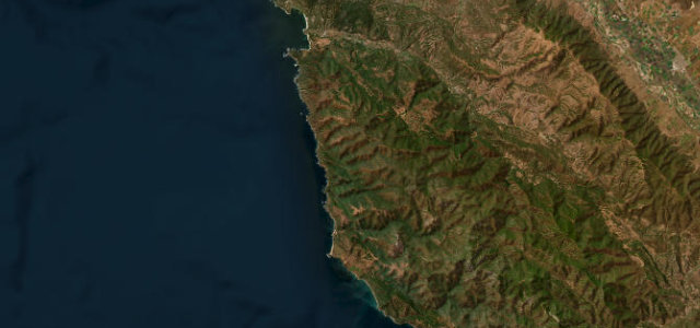
Endless switchbacks from San Jose up to Lick Observatory on Mount Hamilton.
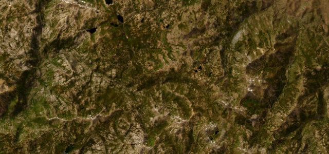
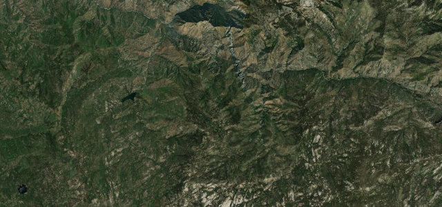
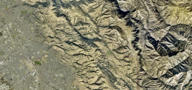
California State Route 130, Mount Hamilton Road, twists up from the edge of San Jose to Lick Observatory, perched at around 4,200 feet on Mount Hamilton in the Diablo Range overlooking the Santa Clara Valley. It is a famously serpentine climb, deliberately graded gently for the wagons that once hauled the telescope parts up in the 1880s, so the corners are near continuous but the gradient is mild. Pavement is narrow and patchy in places and there are no services at the top. Mind cyclists on the climb, narrow blind corners with little room to pass, and fog or ice near the summit.
Scenery
Best seasons
In these collections
In these guides
Where it runs19.1 mi · point to point
Navigate to the start: Apple Maps · Google Maps
Character
Corners
busiest around mile 18Elevation
under 4%4–8%over 8%47.4 – 1,244.2 mFrom the road
Points of interest2 stops
- Ptolemy PeakViewpoint19 mi in
- Huyghens PeakViewpoint19 mi in
Hazards
- Cyclists on the climb
- Narrow blind corners
- Summit fog and ice
Sources
“There are spectacular views of San Jose and the rest of the Santa Clara Valley below.”
Verified route: mapped from real road geometry and fact-checked by a human editor. How roads get checked
Driving the Mount Hamilton Road: quick answers
How long does it take to drive the Mount Hamilton Road?
How difficult is the Mount Hamilton Road to drive?
When is the best time to drive the Mount Hamilton Road?
Nearby roads
The closest great drives to Mount Hamilton Road.