California · United States
Rim of the World Highway
CA 18Crestline to Big Bear Lake
A high balcony road along the rim of the San Bernardino Mountains.
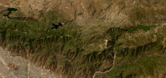
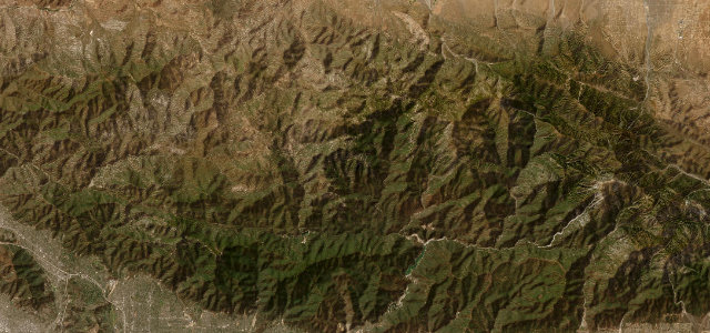
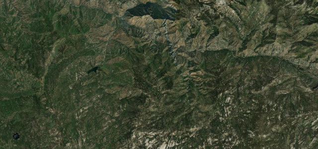
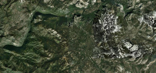
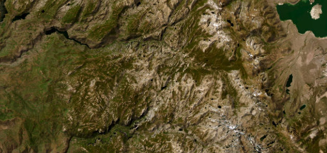
CA 18, the Rim of the World Highway, runs along the crest of the San Bernardino Mountains east of Los Angeles, a winding balcony with long drops to the basin on one side and the forest and lakes of Big Bear on the other. Mind the sheer edges, the weekend traffic, and snow and ice in winter.
Where it runs30.6 mi · point to point
CrestlineStart · California
Big Bear LakeEnd · California
Navigate to the start: Apple Maps · Google Maps
Character
Corners44bends
Tightness5of 10
Max gradient7%≈ 1-in-14
Climb1,383 mtotal ascent
Summit2,198.6 mhighest point of the line · 7,213 ft
Corners
busiest around mile 17Elevation
under 4%4–8%over 8%1,264.1 – 2,198.6 mFrom the road
Points of interest3 stops
- Donald S. Wieman Vista PointViewpoint4.1 mi in
- Bear Valley Dam Vista PointViewpoint26 mi in
- Heaps Peak ArboretumLandmark9.7 mi in
Hazards
- Sheer drops to the basin
- Heavy weekend traffic
- Snow and ice in winter
Sources
“The road will take you along the most fascinating scenery in the state and offers stunning views along the cliffs of the San Bernardino.”
Verified route: mapped from real road geometry and fact-checked by a human editor. How roads get checked
Driving the Rim of the World Highway: quick answers
How long does it take to drive the Rim of the World Highway?
Rim of the World Highway runs 30.6 miles (49 km) and takes about 1 h 1 min to drive without stops.
How difficult is the Rim of the World Highway to drive?
We rate it moderate: 44 corners, a maximum gradient of 7%, and a tightness of 5 out of 10.
When is the best time to drive the Rim of the World Highway?
Spring and Summer and Autumn are best.
Nearby roads
The closest great drives to Rim of the World Highway.
Rim of the World Highway
DirectionsGet the app