State guide
 The best driving roads in Arizona
3 hand-picked driving roads in Arizona, every one mapped from real geometry and fact-checked.
Roads3hand-picked
Combined96 mi154 km of driving
High point2,780 m9,121 ft
The roads
More states
Driving in Arizona: common questions
What is the best driving road in Arizona?
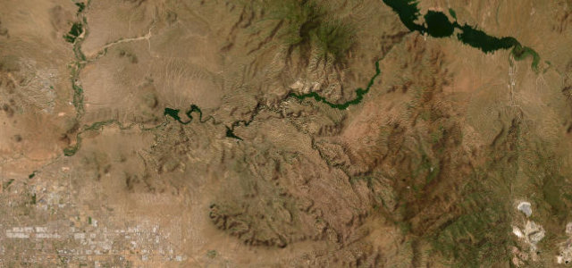
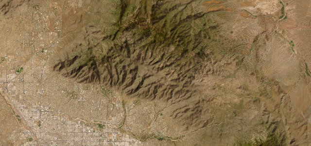
Apache Trail is the place to start. Historic 1900s wagon route past the Superstition Mountains to Roosevelt Dam
How many great driving roads does Arizona have?
3 hand-picked and fact-checked roads, 96 miles of driving in all, every one mapped from real road geometry.
What is the highest road in Arizona?
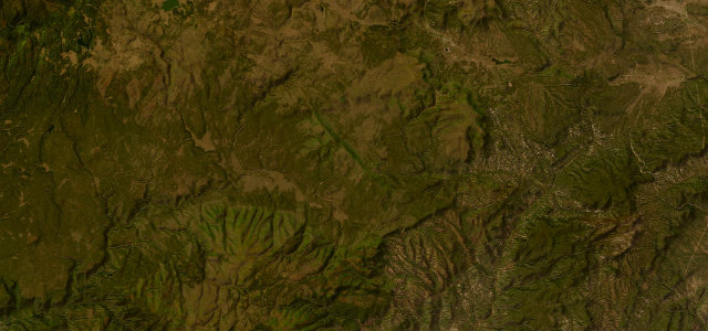
Coronado Trail is the highest, climbing to about 2,780 m (9,121 ft).