Arizona · United States
Apache Trail
AZ 88Apache Junction to Roosevelt Dam
Historic 1900s wagon route past the Superstition Mountains to Roosevelt Dam.
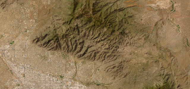
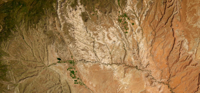
Arizona State Route 88, the Apache Trail, was cut in the early 1900s to haul materials to Roosevelt Dam and still keeps much of its raw character. The first stretch from Apache Junction past Tortilla Flat is paved and twisting beneath the Superstition Mountains, then it turns to a narrow shelf of dirt through Fish Creek Hill before reaching the dam. The eastern dirt section has reopened after flood damage but remains rough and is not for low cars. Mind unguarded cliff edges at Fish Creek Hill, the unpaved washboard surface east of Tortilla Flat, and midweek maintenance closures.
Where it runs44.0 mi · point to point
Navigate to the start: Apple Maps · Google Maps
Character
Corners
busiest around mile 36Elevation
under 4%4–8%over 8%507.4 – 909.3 mFrom the road
Points of interest1 stop
- Lost Dutchman MonumentLandmark0.2 mi in
Hazards
- Unguarded cliff edges
- Unpaved washboard surface
Sources
“The road travels through magnificent scenery of twisted igneous mountains with dense forests of saguaro and ferocactus, and several deep blue lakes.”
Verified route: mapped from real road geometry and fact-checked by a human editor. How roads get checked
Driving the Apache Trail: quick answers
How long does it take to drive the Apache Trail?
How difficult is the Apache Trail to drive?
When is the best time to drive the Apache Trail?
Is the Apache Trail fully paved?
Nearby roads
The closest great drives to Apache Trail.