Utah · United States
Cedar Breaks Scenic Byway
UT 148Cedar Breaks to Brian Head
A short, high byway along the rim of a red-rock amphitheatre.
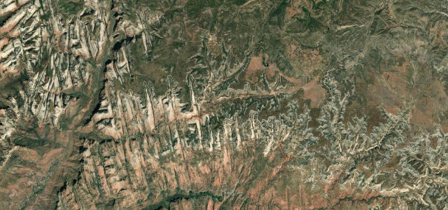
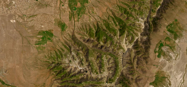
UT 148 runs along the rim of Cedar Breaks National Monument above 10,000 ft, a short, high road past the great eroded amphitheatre of red and orange rock and stands of ancient bristlecone pine. Winter closes it, and snow can hang on at the rim well into the driving season; up at this height the air is thin, the weather turns quickly, and cars stop without warning wherever the rock opens up.
Scenery
Best seasons
In these collections
In these guides
Where it runs9.8 mi · point to point
Navigate to the start: Apple Maps · Google Maps
Character
Higher than 9 in 10 roads in the catalogue.
Corners
busiest around mile 4Elevation
under 4%4–8%over 8%2,999.4 – 3,228.9 mPoints of interest3 stops
- Point Supreme OverlookViewpoint2.5 mi in
- Chessmen Ridge OverlookViewpoint4.6 mi in
- North View OverlookViewpoint7.1 mi in
Hazards
- Snow lingering above 10,000 ft early in the season
- Sightseers braking suddenly for the views
- Quick-changing weather on the rim
Sources
“The road includes several overlooks and highlights the scenery of the Dixie National Forest and the multi-colored rock amphitheater of Cedar Breaks National Monument.”
Verified route: mapped from real road geometry and fact-checked by a human editor. How roads get checked
Driving the Cedar Breaks Scenic Byway: quick answers
How long does it take to drive the Cedar Breaks Scenic Byway?
How difficult is the Cedar Breaks Scenic Byway to drive?
When is the best time to drive the Cedar Breaks Scenic Byway?
Nearby roads
The closest great drives to Cedar Breaks Scenic Byway.