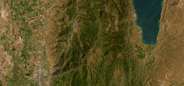
Nevada · United States
Lamoille Canyon Road
NF 660Lamoille to Road’s End
A twelve-mile dead-end climb into a glacier-carved gorge of the Ruby Mountains, Nevada’s answer to Yosemite Valley.
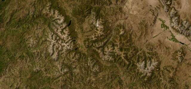
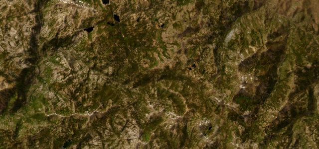
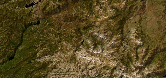
Lamoille Canyon Road runs about twelve miles from the valley near Lamoille up into the largest glacial canyon of the Ruby Mountains in north-eastern Nevada, ending at the Road’s End trailhead around 8,800 feet. The paved road climbs through a U-shaped gorge of granite walls, hanging valleys, waterfalls and avalanche chutes beneath 11,387-foot Ruby Dome, scenery that has earned the Rubies the nickname 'Nevada’s Yosemite' or 'Nevada’s Alps'. It is a National Forest Scenic Byway, a there-and-back drive rather than a through route, generally open May to October. Mind the abrupt seasonal closure once snow arrives, rockfall and the occasional bighorn sheep on the road, and the long, exposed run with no services beyond the canyon mouth.
Scenery
Best seasons
In these collections
In these guides
Where it runs12.6 mi · point to point
Navigate to the start: Apple Maps · Google Maps
Character
Corners
busiest around mile 13Elevation
under 4%4–8%over 8%1,786.4 – 2,676.1 mPoints of interest3 stops
- Glacier OverlookPullout with interpretive panels looking up the U-shaped glacial canyon of the Ruby Mountains5.9 mi in
- Thomas Canyon CampgroundAspen-shaded campground and trailhead beneath the jagged Ruby Mountains peaks7.8 mi in
- Roads End TrailheadParking and turnaround at the head of the canyon, start of the Ruby Crest National Recreation Trail13 mi in
Hazards
- Abrupt seasonal snow closure
- Rockfall and wandering bighorn sheep
- No services beyond the canyon mouth
Is Lamoille Canyon Road open? Typical season and live summit weather ›
Sources
“Be prepared for lots of climbing in one direction and white-knuckle descending in the other.”
Verified route: mapped from real road geometry and fact-checked by a human editor. How roads get checked
Driving the Lamoille Canyon Road: quick answers
How long does it take to drive the Lamoille Canyon Road?
How difficult is the Lamoille Canyon Road to drive?
When is the best time to drive the Lamoille Canyon Road?
Nearby roads
The closest great drives to Lamoille Canyon Road.