Utah · United States
Logan Canyon Scenic Byway
US 89Logan to Garden City (Bear Lake)
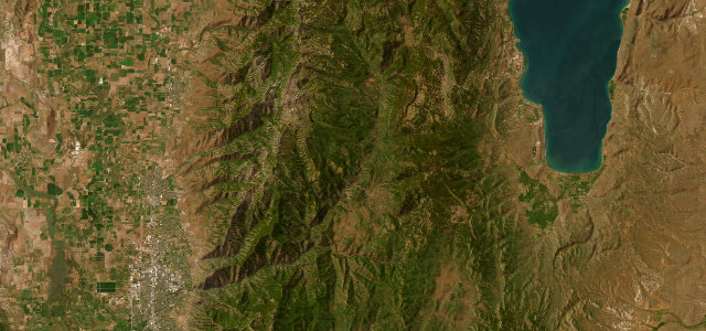
US 89 threading a 41-mile limestone canyon from Logan up over the divide to the Caribbean-blue water of Bear Lake.
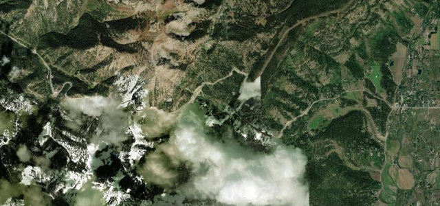
From the mouth of the canyon at Logan the byway follows the trout-rich Logan River upstream between near-vertical fossil-laden limestone walls, past Tony Grove and the Wind Cave trailhead, before climbing to the 7,800 ft summit. The reveal comes at the top, where Bear Lake opens out below in an improbable turquoise, and the road drops to Garden City on the shore. The lower canyon is flowing river-grade curves; the upper climb and descent tighten up with switchbacks. It is high and exposed, so winter brings ice and closures. Mind deer and moose crossing in the canyon, ice and snow on the high summit section, and slow recreation traffic towing boats in summer.
Scenery
Best seasons
In these collections
Where it runs37.0 mi · point to point
Navigate to the start: Apple Maps · Google Maps
Character
Corners
busiest around mile 34Elevation
under 4%4–8%over 8%1,429.2 – 2,378.9 mPoints of interest1 stop
- Bear Lake OverlookViewpoint31 mi in
Hazards
- Deer and moose crossing in the canyon
- Ice and snow on the high summit
- Slow boat-towing traffic in summer
Sources
“offers outstanding views of Bear Lake's turquoise waters”
Verified route: mapped from real road geometry and fact-checked by a human editor. How roads get checked
Driving the Logan Canyon Scenic Byway: quick answers
How long does it take to drive the Logan Canyon Scenic Byway?
How difficult is the Logan Canyon Scenic Byway to drive?
When is the best time to drive the Logan Canyon Scenic Byway?
Nearby roads
The closest great drives to Logan Canyon Scenic Byway.