Utah · United States
Upper Colorado River Scenic Byway
UT 128Moab to Dewey Bridge
The River Road out of Moab follows the Colorado through a narrow red sandstone gorge for 30 miles, past riverside campgrounds, the film country of Professor Valley and the Fisher Towers, to the remains of the Dewey suspension bridge.
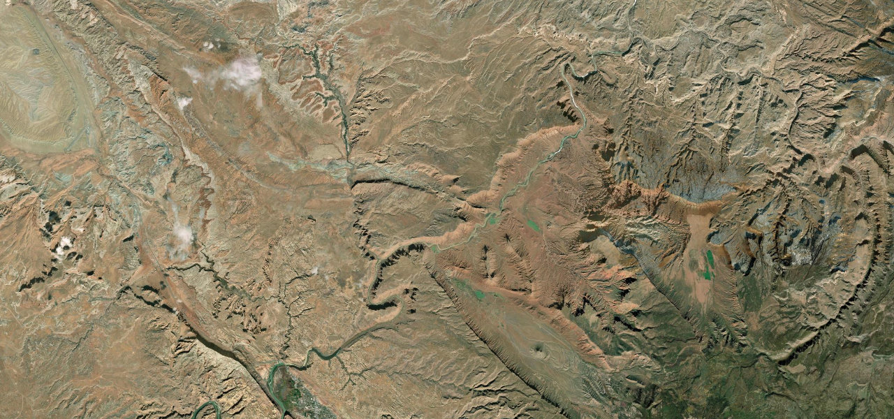
SR 128 leaves US 191 at Lions Park on the north edge of Moab and follows the south bank of the Colorado River into a narrow, steep gorge of red sandstone cliffs, known locally as the River Road. Grandstaff Canyon comes in at about 3 miles and the Big Bend campground, picnic area and sandy beach at about 8 miles, with the road squeezed between cliff and river and blind corners without shoulders. The gorge widens at Castle Valley and Professor Valley, where many westerns were filmed and Red Cliffs Lodge, at about 14 miles, houses a film museum, and the Fisher Towers rise at the east end of the valley. The road then winds back up the gorge to cross the river at Dewey, 30 miles from Moab, beside the remains of the 1916 suspension bridge that burned in 2008. In 2026 work on a new riverside path near Grandstaff Canyon has the road down to one lane under traffic control until the end of October.
Scenery
Best seasons
In these collections
In these Grand Tours
Upper Colorado River Scenic Byway on the map29.9 mi · point to point
Navigate to the start: Apple Maps · Google Maps
Character
Corners
busiest around mile 27Elevation
under 4%4 to 8%over 8%1,209 to 1,316 mPoints of interest4 stops
- Grandstaff Canyon TrailheadStart of the two-mile trail up Grandstaff Canyon to Morning Glory Natural Bridge, kept open during the 2026 roadworks.3.1 mi in
- Big Bend CampgroundBLM campground and picnic area with a white sand beach on a bend of the river.7.7 mi in
- Cowboy GrillRestaurant at Red Cliffs Lodge, which also houses a film museum, at about mile 14.14 mi in
- Dewey Suspension BridgeRemains of the 1916 bridge, the longest suspension bridge in Utah until a fire destroyed it in April 2008.30 mi in
Hazards
- One lane with traffic control near Grandstaff Canyon until the end of October 2026
- Blind corners without shoulders
- Rockfall from the canyon walls
- Cyclists on the narrow road
Sources
“Continuing down U-128, the drive parallels the Colorado River within a narrow section of the Colorado River gorge, providing breathtaking views of the surrounding red sandstone cliffs.”
“42 Miles of canyon road that follows the upper Colorado River. Road twists as much as the famous river.”
“The best riding (and the most killer views) are found in the 30 miles between the junction with U.S. 191 near Moab and the historic Dewey Bridge.”
Route traced from OpenStreetMap, with its stats measured from that line. How the roads are mapped
Driving the Upper Colorado River Scenic Byway: quick answers
How long does it take to drive the Upper Colorado River Scenic Byway?
How difficult is the Upper Colorado River Scenic Byway to drive?
When is the best time to drive the Upper Colorado River Scenic Byway?
Nearby roads
The closest great drives to Upper Colorado River Scenic Byway.