Arizona · United States
Catalina Highway (Mount Lemmon)
Tucson to Summerhaven
Tucson desert floor to alpine Mount Lemmon, climbing 6,000 feet through stacked switchbacks.
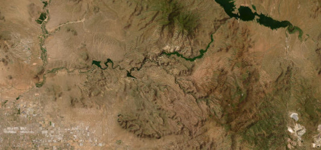
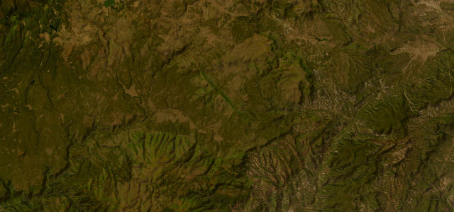
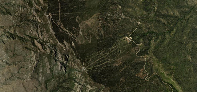
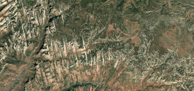
The General Hitchcock (Catalina) Highway climbs roughly 6,000 feet from the saguaro desert outside Tucson to the pines near Summerhaven, passing through a sequence of life zones often likened to driving from Mexico to Canada. The grade is steady and the corners are constant, with cyclists, motorcyclists and rock climbers all sharing the road. It is paved the whole way and the surface is generally good. Mind cyclists on blind bends, sudden ice and snow near the top in winter, and falling rock through the lower switchbacks.
Where it runs29.2 mi · point to point
Navigate to the start: Apple Maps · Google Maps
Character
Corners
busiest around mile 7Elevation
under 4%4–8%over 8%780 – 2,496.5 mPoints of interest3 stops
- Seven Cataracts VistaViewpoint14 mi in
- Thimble Peak VistaViewpoint13 mi in
- Windy PointViewpoint18 mi in
Hazards
- Cyclists on blind bends
- Winter ice near summit
- Falling rock
Sources
“It's regarded as one of the most scenic drives in Arizona, with breathtaking vistas and outlandish rockscapes.”
Verified route: mapped from real road geometry and fact-checked by a human editor. How roads get checked
Driving the Catalina Highway (Mount Lemmon): quick answers
How long does it take to drive the Catalina Highway (Mount Lemmon)?
How difficult is the Catalina Highway (Mount Lemmon) to drive?
When is the best time to drive the Catalina Highway (Mount Lemmon)?
Nearby roads
The closest great drives to Catalina Highway (Mount Lemmon).