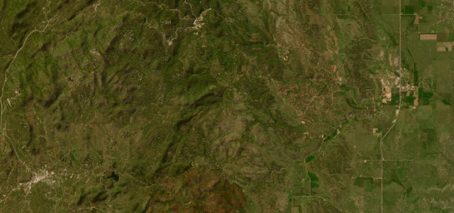
South Dakota · United States
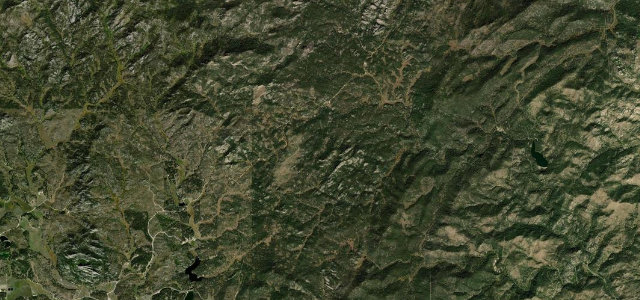
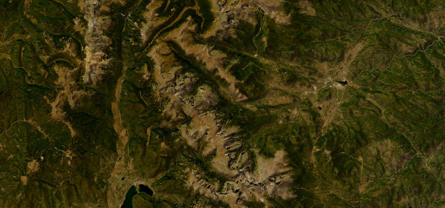
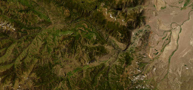
Iron Mountain Road
US 16AKeystone to Custer State Park
Pigtail bridges and tunnels framing Mount Rushmore.
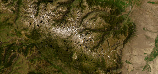
US 16A, Iron Mountain Road, climbs through the Black Hills on a deliberately playful route of corkscrew 'pigtail' bridges and narrow tunnels that frame Mount Rushmore in the distance. Mind the one-lane tunnels, the tight spirals, and the heavy summer traffic.
Where it runs23.0 mi · point to point
KeystoneStart · South Dakota
Custer State ParkEnd · South Dakota
Navigate to the start: Apple Maps · Google Maps
Character
Corners36bends
Tightness6of 10
Max gradient7%≈ 1-in-14
Hairpins9tight bends
Climb719 mtotal ascent
Summit1,657.4 mhighest point of the line · 5,438 ft
Corners
busiest around mile 5Elevation
under 4%4–8%over 8%1,166.4 – 1,657.4 mPoints of interest2 stops
- Doane Robinson TunnelLandmark2.7 mi in
- Iron MountainViewpoint5.0 mi in
Hazards
- One-lane tunnels
- Tight corkscrew bridges
- Heavy summer traffic
Sources
“this unusual and captivating road was specifically designed with a tremendous amount of curves to limit the speed of travelers to 35 miles per hour so that they could enjoy the beauty of the Black Hills”
Verified route: mapped from real road geometry and fact-checked by a human editor. How roads get checked
Driving the Iron Mountain Road: quick answers
How long does it take to drive the Iron Mountain Road?
Iron Mountain Road runs 23.0 miles (37 km) and takes about 48 min to drive without stops.
How difficult is the Iron Mountain Road to drive?
We rate it moderate: 36 corners including 9 hairpins, a maximum gradient of 7%, and a tightness of 6 out of 10.
When is the best time to drive the Iron Mountain Road?
Spring and Summer and Autumn are best.
Nearby roads
The closest great drives to Iron Mountain Road.
Iron Mountain Road
DirectionsGet the app