Idaho · United States
Payette River Scenic Byway
ID 55Horseshoe Bend to McCall
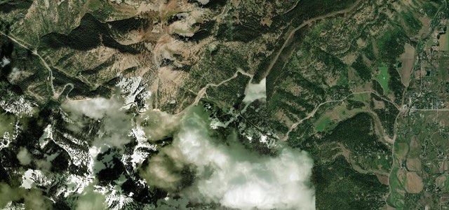
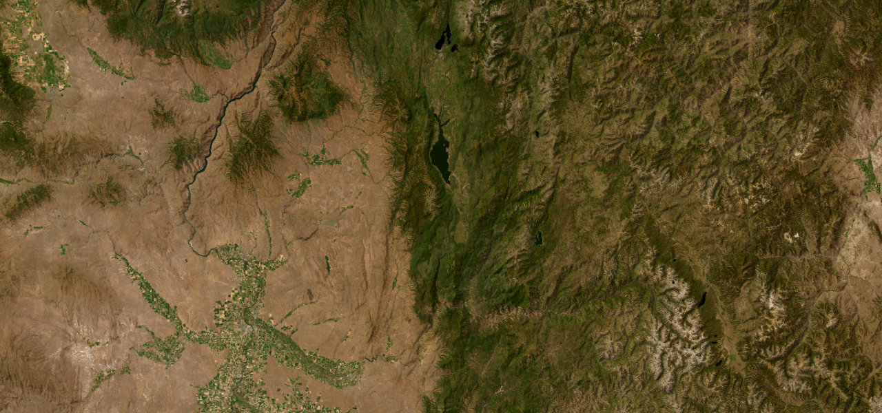
ID 55 follows the Payette River north from Horseshoe Bend through Banks and Smiths Ferry, climbs out of the canyon to Cascade and Lake Cascade, then runs through the Long Valley to the shore of Payette Lake at McCall.
From Horseshoe Bend, ID 55 heads north up the Payette River through the Boise National Forest, past campgrounds and roadside pull-outs, to Banks, where the river’s north and south forks meet. The highway follows the North Fork through Smiths Ferry, where the canyon opens out, and crosses the river on the 1933 Rainbow Bridge before climbing Round Valley Creek into Round Valley. It continues through the Long Valley to Cascade, tops a brief 5,207 ft summit at Little Donner and drops to follow the east shore of Cascade Reservoir, with the Tamarack Resort turnoff at Donnelly. The last run crosses the valley floor to McCall, on the south shore of Payette Lake, where this section ends. Except for a few passing lanes it is a two-lane highway beside the river, and the full National Scenic Byway carries on north to New Meadows.
Scenery
Best seasons
In these collections
Payette River Scenic Byway on the map79.2 mi · point to point
Navigate to the start: Apple Maps · Google Maps
Character
Corners
busiest around mile 28Elevation
under 4%4 to 8%over 8%806 to 1,590 mPoints of interest5 stops
- Banks Store & CafeCafe and store at Banks, where the Payette’s north and south forks meet and the rafting access begins.14 mi in
- Smiths FerryHamlet where the canyon expands and the river slows, with sandbar islands to stop at.33 mi in
- Rainbow BridgeThe 1933 North Fork Payette River Bridge, an NRHP-listed bridge that ITD plans to replace from about 2028.35 mi in
- Kelly’s Whitewater ParkWhitewater park on the North Fork in Cascade where paddlers of all skill levels can run the rapids.50 mi in
- McCall Brewing CompanyCraft brewery in McCall, where this section ends beside Payette Lake.79 mi in
Hazards
- Rockfall in the canyon near Smiths Ferry has closed the highway before
- Wildfire can close the road in summer, as the Milepost 81 Fire did in August 2026
- Traffic delays on holiday weekends, with RVs, motorcyclists and the occasional deer
- Sharp curves onto the Rainbow Bridge that fall below current highway standards
See the typical season and live conditions for the high passes ›
Sources
“the river below carves its way through narrow gorges and towering pines, crashes over massive boulders, and creates plentiful fishing holes.”
“This route passes through foothills, canyons, forests and valleys with scenic vistas and abundant wildlife.”
Route traced from OpenStreetMap, with its stats measured from that line. How the roads are mapped
Driving the Payette River Scenic Byway: quick answers
How long does it take to drive the Payette River Scenic Byway?
How difficult is the Payette River Scenic Byway to drive?
When is the best time to drive the Payette River Scenic Byway?
Nearby roads
The closest great drives to Payette River Scenic Byway.