Oklahoma / Arkansas · United States
Talimena Scenic Drive
OK 1AR 88Talihina to Mena
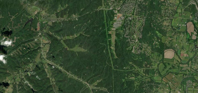
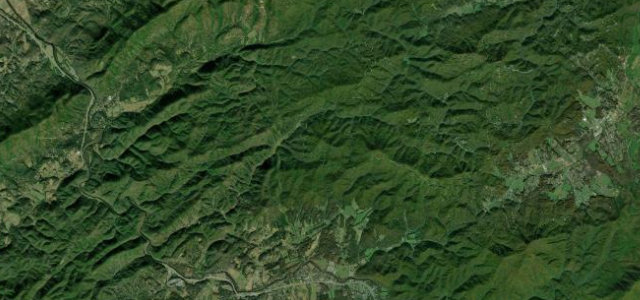
A 54-mile ridge-crest run along Oklahoma State Highway 1 and Arkansas Highway 88, riding the spine of the Winding Stair and Rich Mountains through the Ouachita National Forest between Talihina and Mena.
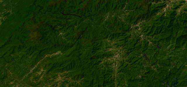
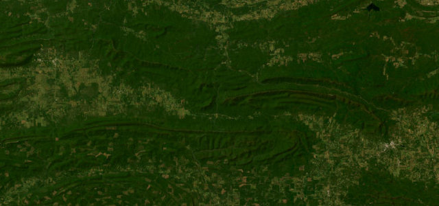
This is one of the rare true mountain drives in mid-America, and it earns its reputation by staying high. From Talihina the road climbs onto the crest and then largely holds it, threading the Winding Stair and Rich Mountain ridgelines with frequent overlooks down into forested valleys and out across the Ouachitas. The corners are mostly flowing rather than savage, broad sweepers linked by short straights, with a generous scattering of pull-offs that make it more of a touring road than an attack road. It is justly famous in autumn, when the hardwood canopy turns and the byway fills with leaf-peepers, so pace expectations accordingly. Near the Arkansas end it passes Queen Wilhelmina State Park before dropping toward Mena. Mind leaf-fall and wet leaves on the descents in autumn, deer and free-grazing wildlife at dawn and dusk, and slow-moving sightseeing traffic that brakes without warning at the overlooks.
Where it runs52.5 mi · point to point
Navigate to the start: Apple Maps · Google Maps
Character
Corners
busiest around mile 52Elevation
under 4%4–8%over 8%201.2 – 378.7 mFrom the road
Points of interest1 stop
- Talimena East End Visitor Information StationInformation station and overlook at the eastern end of the byway near the Arkansas state line52 mi in
Hazards
- Wet leaf-fall on descents in autumn
- Deer and free-grazing wildlife at dawn/dusk
- Slow sightseeing traffic braking at overlooks
Sources
“The route offers mountain vistas unsurpassed in mid-America of forested peaks and valleys, lakes, and streams.”
Verified route: mapped from real road geometry and fact-checked by a human editor. How roads get checked
Driving the Talimena Scenic Drive: quick answers
How long does it take to drive the Talimena Scenic Drive?
How difficult is the Talimena Scenic Drive to drive?
When is the best time to drive the Talimena Scenic Drive?
Nearby roads
The closest great drives to Talimena Scenic Drive.