
 State guide
The best driving roads in Nevada
4 driving roads in Nevada, each with its route, climb and best seasons.
Roads4mapped
Combined177 mi285 km of driving
High point2,676 m8,780 ft
The roads
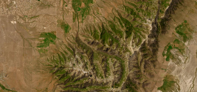 Lamoille Canyon Road13 mi · 24 min · 2,676 m summitView the roadbook ›
More states
Driving in Nevada: common questions
What is the best driving road in Nevada?
Lamoille Canyon Road is the place to start. A twelve-mile dead-end climb into a glacier-carved gorge of the Ruby Mountains, Nevada’s answer to Yosemite Valley.
How many great driving roads does Nevada have?
4 roads in our catalogue, 177 miles of driving in all, every one traced from OpenStreetMap.
What is the highest road in Nevada?
Lamoille Canyon Road is the highest, climbing to about 2,676 m (8,780 ft).