Nevada · United States
The Loneliest Road in America, Austin to Ely
US 50Austin to Ely
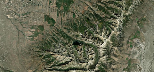
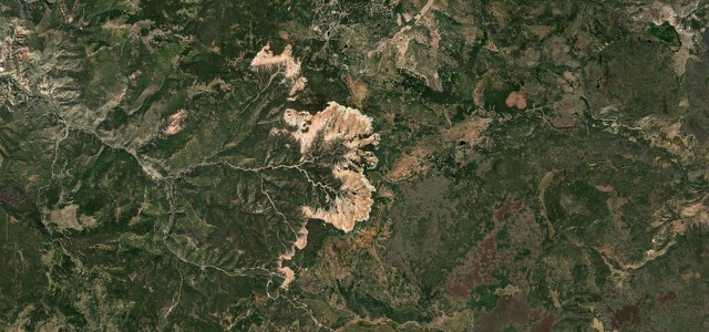
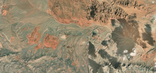
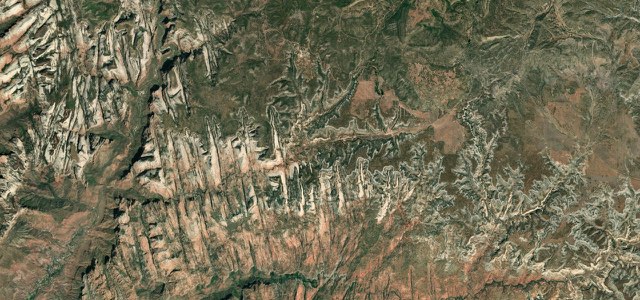
US 50 runs east from the mining town of Austin over Austin Summit, past Hickison Petroglyphs and through Eureka, crossing a string of summits up to 7,607 feet and empty valleys to Ely on Nevada’s Loneliest Road.
From Austin, a silver-mining town that had about 10,000 people in 1862, US 50 climbs through hairpin turns and steep grades to Austin Summit at 7,484 feet in the Toiyabe Range, inside the Humboldt-Toiyabe National Forest. It crosses Bob Scott Summit and drops east across the valleys to Hickison Summit at 6,546 feet, where the Hickison Petroglyph Recreation Area has a walking tour of petroglyphs. Eureka comes about 70 miles from Austin, with its 1880 opera house at the centre of the historic district. Beyond it the road crosses Pinto, Pancake and Little Antelope summits and climbs to Robinson Summit at 7,607 feet, the high point of this section, before running down to Ely, where the Nevada Northern Railway still runs as a heritage railway. The route has just three towns, Austin, Eureka and Ely, 70 and 77 miles apart.
Scenery
Best seasons
In these collections
In these guides
The Loneliest Road in America, Austin to Ely on the map145.3 mi · point to point
Navigate to the start: Apple Maps · Google Maps
Character
Corners
busiest around mile 1Elevation
under 4%4 to 8%over 8%1,745 to 2,318 mPoints of interest5 stops
- Austin SummitThe 7,484 foot pass above Austin, reached by hairpin turns and steep grades.1.8 mi in
- Hickison Petroglyph Recreation AreaRest area and campground a short way off the highway with a walking tour of petroglyphs.23 mi in
- Eureka County Opera HouseThe 1880 opera house at the centre of Eureka’s historic district.69 mi in
- DJ’s DinerDiner in Eureka, the only town between Austin and Ely.69 mi in
- Robinson SummitThe 7,607 foot high point of this section, west of Ely.129 mi in
Hazards
- Long gaps between towns, 70 miles from Austin to Eureka and 77 miles from Eureka to Ely
- Hairpin turns and grades of up to 8 percent on some summits
- Winter weather on the passes, which reach over 7,000 feet
- Livestock and deer on the road at dawn and dusk
- Fatigue on the long, straight valley sections
Sources
“Stretching the width of Nevada, the Loneliest Road is a fascinating scenic and historic corridor through a land seemingly untouched by man.”
“Wide open U.S. 50 rolls on and on through Nevada with its own special charm.”
“I navigate through mountain ranges and emerge onto vast plains, sometimes highlighted with massive dry riverbeds”
Route traced from OpenStreetMap, with its stats measured from that line. How the roads are mapped
Driving the Loneliest Road in America, Austin to Ely: quick answers
How long does it take to drive the Loneliest Road in America, Austin to Ely?
How difficult is the Loneliest Road in America, Austin to Ely to drive?
When is the best time to drive the Loneliest Road in America, Austin to Ely?
Nearby roads
The closest great drives to The Loneliest Road in America, Austin to Ely.