Nevada · United States
Valley of Fire Highway
West Entrance to East Entrance
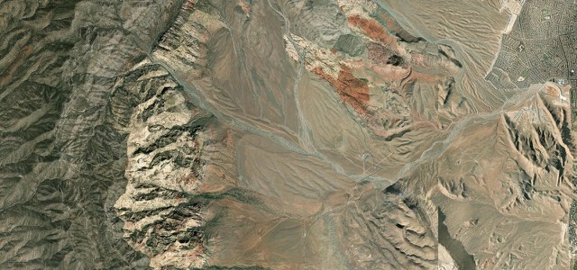
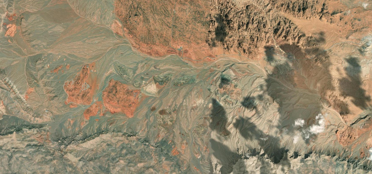
The Valley of Fire Highway crosses Valley of Fire State Park from the West Entrance to the East Entrance, past red sandstone, the Beehives, Seven Sisters and Elephant Rock, on a Nevada Scenic Byway with a park fee.
From the West Entrance station, where the state park entrance fee is paid, the highway runs east across the southern side of the park through red Aztec sandstone hills, passing the Beehives and the turn to Atlatl Rock, one of the easiest places to see petroglyphs. It continues past the junction with the four-mile White Domes Road and the Seven Sisters picnic area, while the Civilian Conservation Corps stone cabins stand back from the road further east. The drive ends at Elephant Rock beside the East Entrance, where the scenic byway designation ends, and the highway runs on to Northshore Road in Lake Mead National Recreation Area. It is a gentle road with a 35 mph limit that loses about 800 feet between the two entrances, and it was designated a Nevada Scenic Byway on 30 June 1995. The park is open daily from sunrise to sunset.
Scenery
Best seasons
In these collections
Valley of Fire Highway on the map7.1 mi · point to point
Navigate to the start: Apple Maps · Google Maps
Character
Corners
busiest around mile 4Elevation
under 4%4 to 8%over 8%512 to 808 mPoints of interest5 stops
- BeehivesBeehive-shaped rock formations beside the road near the west end of the park.1.3 mi in
- Atlatl RockSide road to one of the two areas in the park with numerous, easily reached petroglyphs.1.8 mi in
- Seven SistersRock formation with a picnic area beside the highway, named as one of the best stops for viewing the rocks.4.5 mi in
- Historic CabinsStone cabins built by the Civilian Conservation Corps, set back a few hundred metres from the highway.5.7 mi in
- Elephant RockProminent rock formation next to the East Entrance.6.9 mi in
Hazards
- West Entrance closed Monday to Thursday until the end of 2026 for construction, use the East Entrance
- Park closed to all visitors from 1 to 14 December every year
- State park entrance fee
- No fuel inside the park
- Extreme summer heat, with highs of 100 to 115°F
See the typical season and live conditions for the high passes ›
Sources
“As part of the Mojave Desert, the Valley of Fire Roadways pass through brilliant and starkly beautiful landscape.”
“Located between Las Vegas and Lake Mead, this byway travels through wind-sculpted red sandstone and is a popular place for birding.”
“After paying the $10 Nevada resident vehicle fee (or the $15 nonresident vehicle fee), you’ll cruise on past bright orange sandstone mountains, beehive-shaped rocks and giant boulders.”
Route traced from OpenStreetMap, with its stats measured from that line. How the roads are mapped
Driving the Valley of Fire Highway: quick answers
How long does it take to drive the Valley of Fire Highway?
How difficult is the Valley of Fire Highway to drive?
When is the best time to drive the Valley of Fire Highway?
Nearby roads
The closest great drives to Valley of Fire Highway.