Arizona · United States
Oak Creek Canyon
SR 89ASedona to Flagstaff
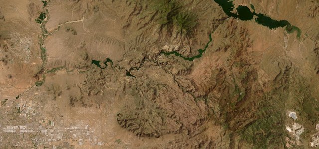
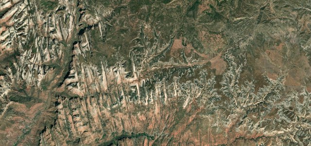
SR 89A from Sedona to Flagstaff follows Oak Creek past Slide Rock between red sandstone walls, then climbs out of the canyon in a stack of hairpins to Oak Creek Vista and the pine forest on the rim.
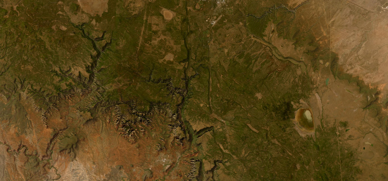
SR 89A leaves the roundabout at the SR 179 junction in Sedona, crosses Midgley Bridge and follows Oak Creek into Oak Creek Canyon, the Sedona-Oak Creek Canyon Scenic Road. It runs north between red and pale sandstone cliffs past Grasshopper Point and Slide Rock State Park, a 1912 apple homestead where the creek runs over a natural sandstone slide. Beyond Pine Flat Campground the road leaves the creek and climbs the head of the canyon in a series of hairpins, closed to trucks over 50 ft, to Oak Creek Vista, an overlook with a Native American crafts market. From the rim it runs through ponderosa pine forest to the I-17 junction south of Flagstaff. The Pocket Fire closed the canyon road to all but residents until 13 July 2026, and storms on the burn scar can still wash ash and debris into the creek.
Scenery
Best seasons
In these collections
Oak Creek Canyon on the map24.5 mi · point to point
Navigate to the start: Apple Maps · Google Maps
Character
Corners
busiest around mile 14Elevation
under 4%4 to 8%over 8%1,302 to 2,136 mPoints of interest4 stops
- Midgley BridgeBridge on the way out of Sedona, with a picnic area and the Wilson Mountain trailhead at its north end.1.8 mi in
- Slide Rock State ParkPendley homestead with a 1912 apple orchard, where Oak Creek runs over a natural sandstone slide.7.3 mi in
- Pumphouse Wash BridgeHistoric bridge at the foot of the switchbacks.14 mi in
- Oak Creek VistaOverlook at the top of the switchbacks, looking back down the canyon, with a Native American crafts market.16 mi in
Hazards
- Flash floods and debris after storms on the 2026 Pocket Fire burn scar
- Snow and ice on the switchbacks in winter
- Crowds and parking congestion at Slide Rock on warm weekends
- Hairpins closed to trucks over 50 ft
See the typical season and live conditions for the high passes ›
Sources
“This road can have some awesome switch backs and steep ascents/descents.”
“Tight curves and switchbacks make the drive scenic but require the driver’s full attention.”
Route traced from OpenStreetMap, with its stats measured from that line. How the roads are mapped
Driving the Oak Creek Canyon: quick answers
How long does it take to drive the Oak Creek Canyon?
How difficult is the Oak Creek Canyon to drive?
When is the best time to drive the Oak Creek Canyon?
Nearby roads
The closest great drives to Oak Creek Canyon.