Maine · United States
Rangeley Lakes / Height of Land
ME 17Houghton to Oquossoc
Western Maine climb to the Height of Land overlook above Mooselookmeguntic Lake.
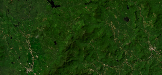
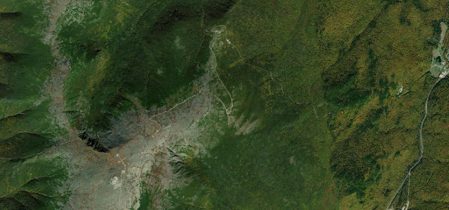
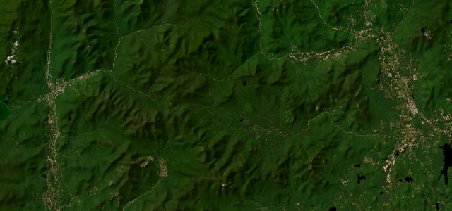
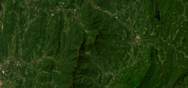
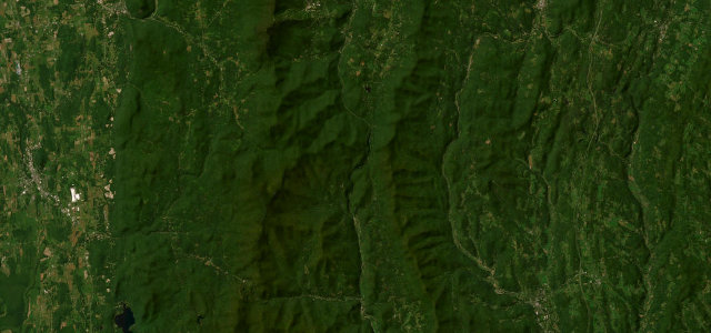
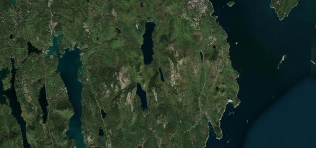
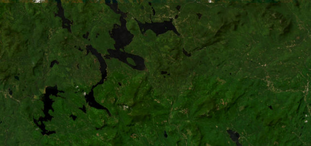
ME 17 climbs through the western Maine mountains from Houghton up to the Height of Land, an overlook long rated among New England’s finest, gazing down on Mooselookmeguntic and the Upper Richardson lakes before dropping toward Oquossoc and Rangeley. It is a sweeping, scenic touring road rather than a technical one, spectacular at peak foliage. Much of it runs through remote forest with limited services. Mind moose on the road especially at dawn and dusk, cars stopping abruptly for the overlook, and frost-heaved pavement in spring.
Scenery
Best seasons
In these collections
In these guides
Where it runs22.4 mi · point to point
Navigate to the start: Apple Maps · Google Maps
Character
Corners
busiest around mile 17Elevation
under 4%4–8%over 8%250.3 – 697.9 mPoints of interest2 stops
- Height of Land Scenic OverlookViewpoint12 mi in
- Shelton Noyes Scenic OverlookViewpoint17 mi in
Hazards
- Moose at dawn and dusk
- Cars stopping at the overlook
- Spring frost heaves
Sources
“The overlook offers the traveler beautiful panoramic views of pristine lakes and mountains, including Mooselookmeguntic Lake, and the White Mountains beyond.”
Verified route: mapped from real road geometry and fact-checked by a human editor. How roads get checked
Driving the Rangeley Lakes / Height of Land: quick answers
How long does it take to drive the Rangeley Lakes / Height of Land?
How difficult is the Rangeley Lakes / Height of Land to drive?
When is the best time to drive the Rangeley Lakes / Height of Land?
Nearby roads
The closest great drives to Rangeley Lakes / Height of Land.