New Brunswick · Canada
Fundy Trail Parkway
St. Martins to Walton Glen
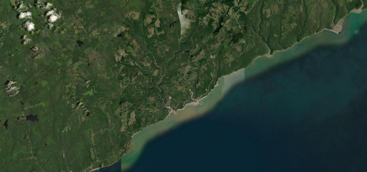
A 30 km parkway along the Bay of Fundy coast east of St. Martins, with a 40 km/h limit, hairpin bends, more than 20 lookouts and a final gorge known as the Grand Canyon of New Brunswick.
The parkway begins at the gate of Fundy Trail Provincial Park, a few minutes from St. Martins, where an entrance fee is paid (C$23.48 for a vehicle and C$11.74 for a motorcycle in 2026, before tax). It heads northeast along the Bay of Fundy coast under a 40 km/h speed limit, past Fox Rock, the first lookout with a view of the bay, then Flowerpot Rock at Fownes Head and Fuller Falls. About 10 km in, the Mitchell Franklin Bridge crosses the Big Salmon River near its mouth, close to the Interpretive Centre and the Cookhouse, the only sit-down place to eat on the parkway. Past the bridge the road continues by the Hairpin Turn Lookout to Long Beach, the largest beach on the parkway. The last stretch turns inland to the Walton Glen reception centre, where a walk leads to Walton Glen Gorge, which some call the Grand Canyon of New Brunswick. Driving straight through takes less than an hour, though most visitors stop at the lookouts, beaches and waterfalls.
Scenery
Best seasons
In these collections
Fundy Trail Parkway on the map17.9 mi · point to point
Navigate to the start: Apple Maps · Google Maps
Character
Corners
busiest around mile 9Elevation
under 4%4 to 8%over 8%12 to 246 mPoints of interest6 stops
- Fox Rock Observation DeckThe first lookout on the parkway with a view of the Bay of Fundy.0.6 mi in
- Flower Pot Rock Observation DeckDeck near Fownes Head on the walk down to Flowerpot Rock.0.8 mi in
- Fuller Falls Upper Observation DeckWaterfall close to the parkway, with an upper viewing area and a cable ladder down to a lower lookout.2.8 mi in
- Fundy Trail Interpretive CentreAt the mouth of the Big Salmon River, about 10 km into the parkway.6.3 mi in
- CookhouseCookhouse at the heritage sawmill, the only sit-down food on the parkway.6.1 mi in
- Walton Glen Gorge Observation DeckReached on foot from the Walton Glen car park, overlooking the gorge some call the Grand Canyon of New Brunswick.17 mi in
Hazards
- Open mid-May to 25 October only in 2026, with 9 am to 5 pm hours from 27 September
- Tight bends and hairpins under a 40 km/h limit
- Beaches are covered as the tide returns, so check the tide table
- Only one sit-down place to eat on the parkway, the Cookhouse
- Big Salmon River suspension footbridge closed this season for renovations
See the typical season and live conditions for the high passes ›
Sources
“Hugging the Bay of Fundy coast with stunning views in every direction, the 6,323-acre Fundy Trail Provincial Park features a 30 km scenic drive and an interpretive centre to learn about our local and natural history.”
“Many sweeping curves, and many twisties, and several hairpin turns. The road is in excellent condition.”
“Driving straight through, it will take less than an hour to complete the parkway, but you can easily spend the day stopping for walking trails, beaches, and observation decks. The 40 km/hr speed limit wants you to take your time.”
Route traced from OpenStreetMap, with its stats measured from that line. How the roads are mapped
Driving the Fundy Trail Parkway: quick answers
How long does it take to drive the Fundy Trail Parkway?
How difficult is the Fundy Trail Parkway to drive?
When is the best time to drive the Fundy Trail Parkway?
Nearby roads
The closest great drives to Fundy Trail Parkway.