Quebec · Canada
Route 132 Gaspé Coast
132Sainte-Anne-des-Monts to Percé
Sainte-Anne-des-Monts to Perce along the cliff-lined Gaspe coast of the St. Lawrence.
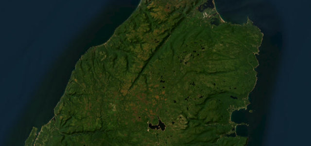
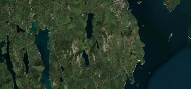
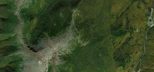
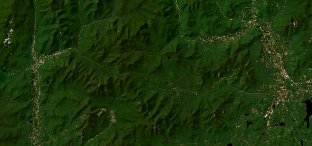
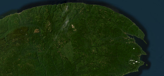
This eastern arc of Quebec’s Route 132 leaves Sainte-Anne-des-Monts and hugs the St. Lawrence shore beneath the Chic-Choc mountains, rounding the Gaspe Peninsula past Forillon to the great limestone monolith of Perce Rock. The road threads cliff edges, river mouths and fishing villages, with the sea on one side and the highlands on the other. It is touring-paced rather than technical, but the setting is among the most celebrated in eastern Canada. Mind cliff-edge sections with little barrier, slow village speed zones, and sea fog rolling in fast.
Scenery
Best seasons
In these collections
In these guides
Where it runs164.8 mi · point to point
Navigate to the start: Apple Maps · Google Maps
Character
Corners
busiest around mile 163Elevation
under 4%4–8%over 8%1 – 807.1 mFrom the road
Points of interest3 stops
- ExploramerMarine science museum and aquarium on the Sainte-Anne-des-Monts waterfront at the western endat the start
- Geoparc de PerceUNESCO Global Geopark with a glass-floor platform suspended over the cliffs above Perce165 mi in
- Rocher PerceThe pierced limestone monolith rising from the gulf, Quebec's most famous coastal landmark165 mi in
Hazards
- Cliff-edge sections
- Village speed zones
- Fast-moving sea fog
Sources
“The longest highway in the province features over 1,600km of stunning vistas, cultural treasures, quaint villages, and captivating experiences.”
Verified route: mapped from real road geometry and fact-checked by a human editor. How roads get checked
Driving the Route 132 Gaspé Coast: quick answers
How long does it take to drive the Route 132 Gaspé Coast?
How difficult is the Route 132 Gaspé Coast to drive?
When is the best time to drive the Route 132 Gaspé Coast?
Nearby roads
The closest great drives to Route 132 Gaspé Coast.