
 Country guide
Driving roads in Mexico
All 2 hand-picked driving roads in Mexico on one interactive map, every one traced from real geometry and fact-checked.
Roads2hand-picked
Combined197 mi317 km of driving
High point2,770 m9,088 ft
The roads
Collections featuring Mexico
Nearby countries

 Guatemala
 Costa Rica
 United States
Driving in Mexico: common questions
What is the best driving road in Mexico?
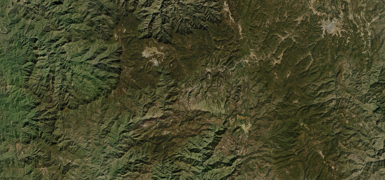
El Espinazo del Diablo is the place to start. The old libre Highway 40 crossing of the Sierra Madre Occidental, notorious for its 2,000-plus curves, bottomless canyons and the knife-edge Espinazo del Diablo ridge at 2,744 m, one of the most dramatic mountain drives in the Americas.
How many great driving roads does Mexico have?
2 hand-picked and fact-checked roads, 197 miles of driving in all, every one mapped from real road geometry.
When is the best time to drive in Mexico?
Most of the roads here are at their best in spring and autumn.
What is the highest road in Mexico?
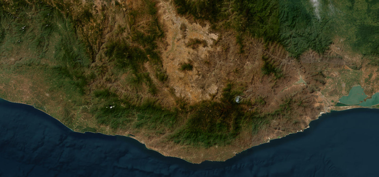
Oaxaca to the Pacific is the highest, climbing to about 2,770 m (9,088 ft).