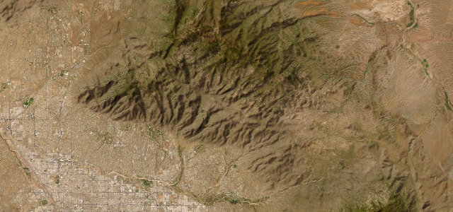
Sierra Madre del Sur · Mexico
Oaxaca to the Pacific
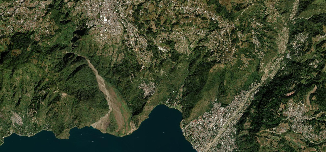
MEX 175Oaxaca de Juárez to San Pedro Pochutla
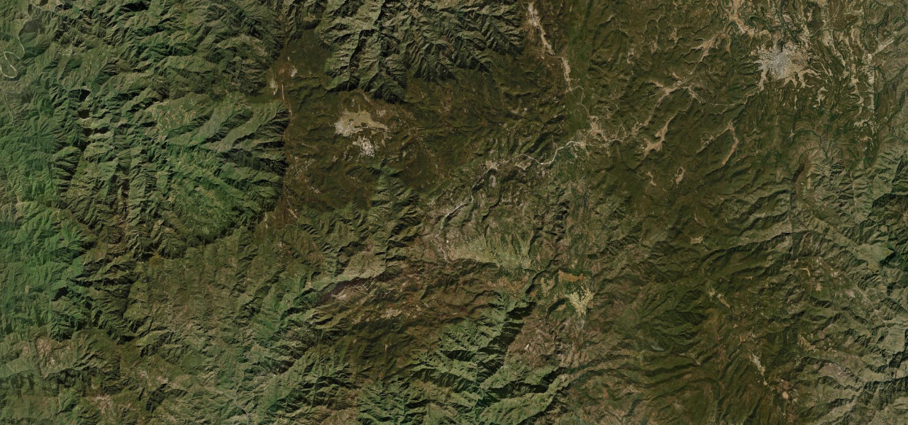
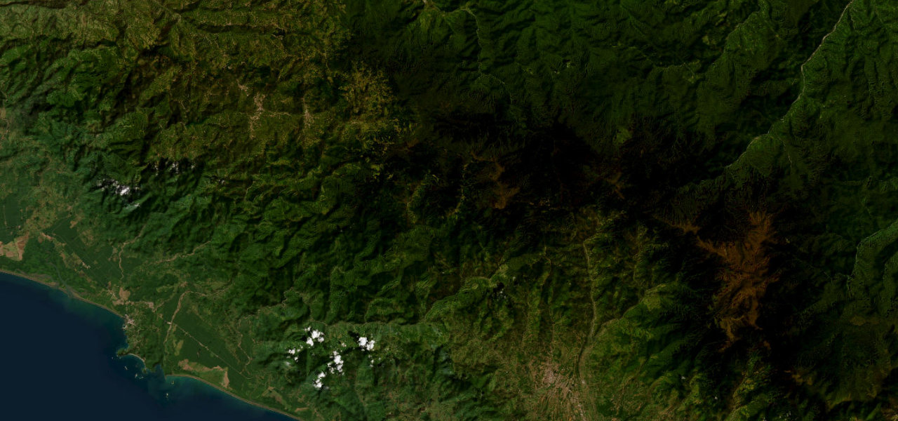
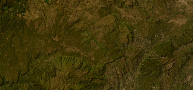
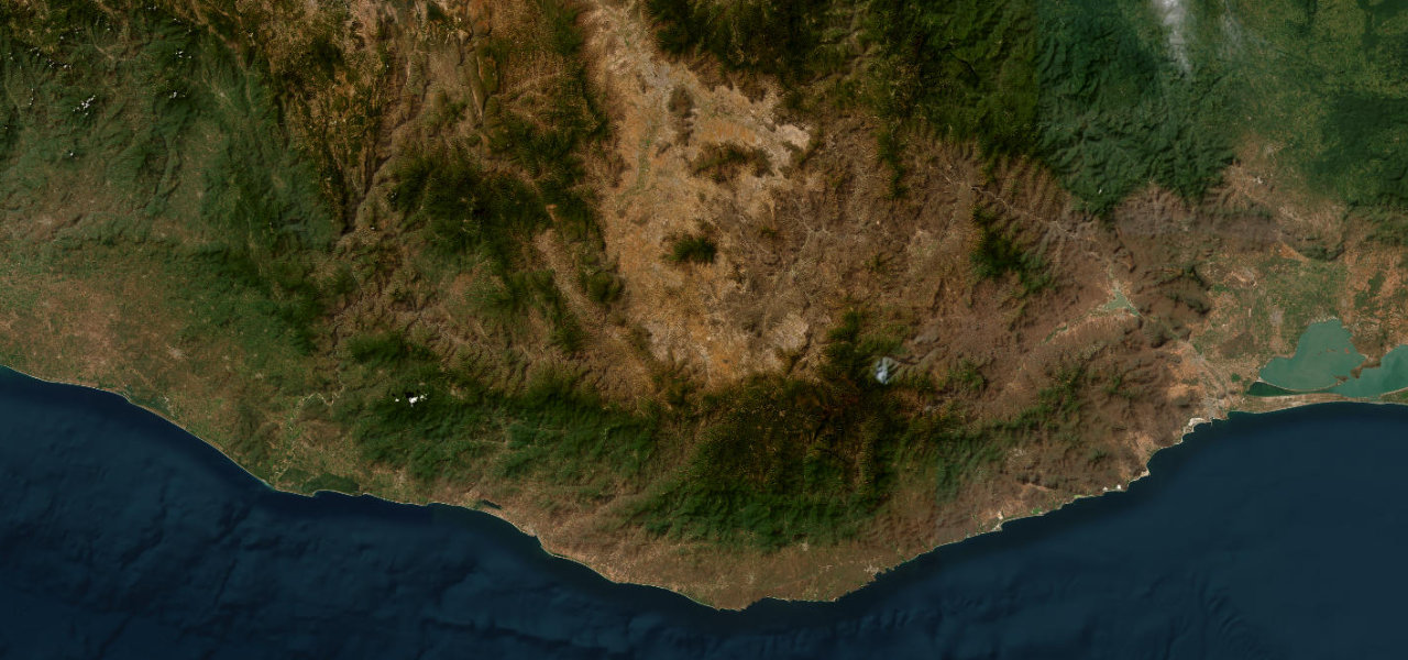
An extraordinary 260 km traverse of the Sierra Madre del Sur from Oaxaca city, climbing to 2,970 m through cloud forest and pine and dropping canyon after canyon to the Pacific, one of Mexico’s most scenically varied mountain roads.
Leaving Oaxaca (1,600 m) the road rises in sharp curves through agave country past Miahuatlán to a 2,970 m pass near Suchixtepec where the forest turns to high pine. The descent toward Pochutla is relentless, curve after curve through jungle ridges, river canyons and waterfalls, before the Pacific junction at San Pedro Pochutla. Allow a full day; night driving is discouraged.
Scenery
Where it runs
Navigate to the start: Apple Maps · Google Maps
Character
Elevation
under 4%4–8%over 8%150 – 2,741 mHazards
- narrow two-lane road
- landslides
- sharp hairpin curves
- village speed bumps
- night driving discouraged
- seasonal washouts
Sources: Road geometry © OpenStreetMap contributors
Nearby roads
The closest great drives to Oaxaca to the Pacific.