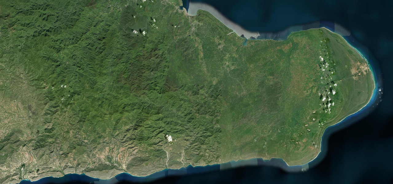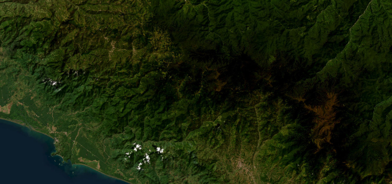
Cordillera de Talamanca · Costa Rica
Cerro de la Muerte
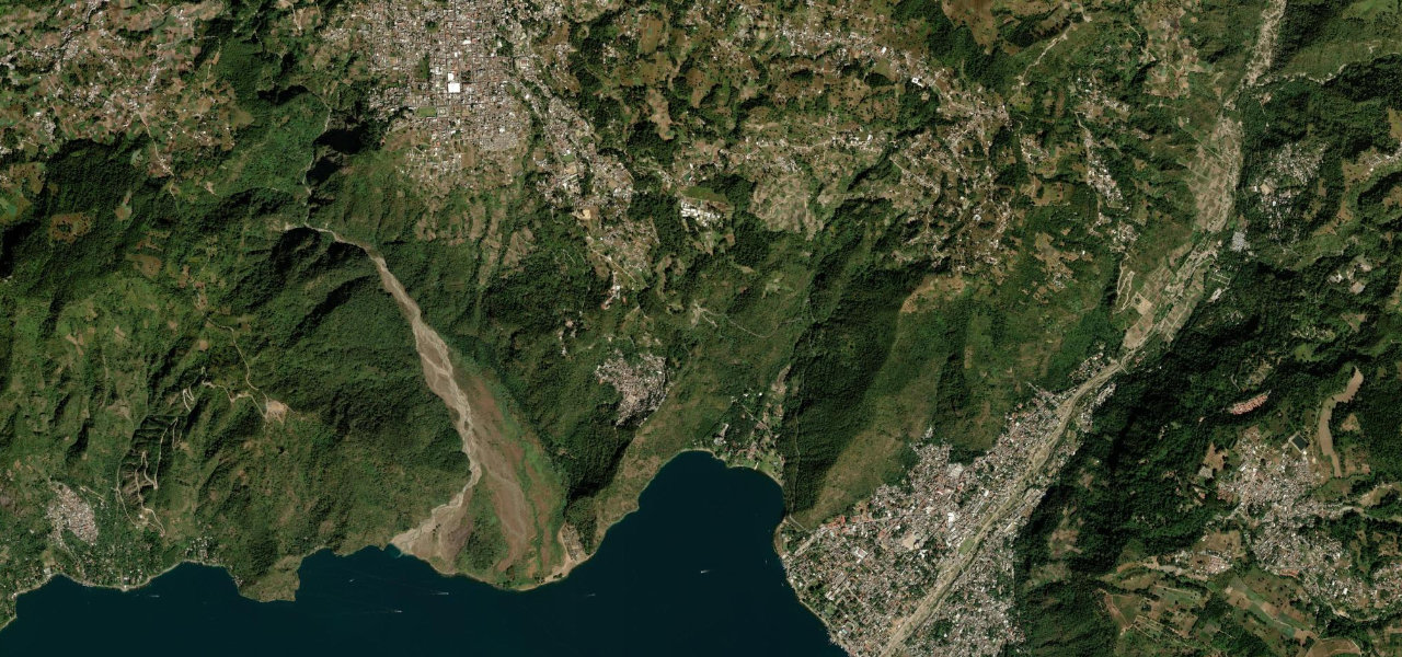
Ruta 2Cartago to San Isidro de El General
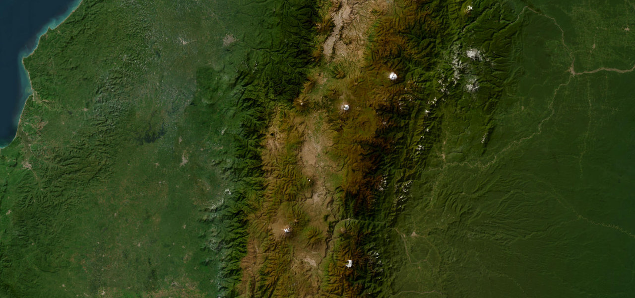
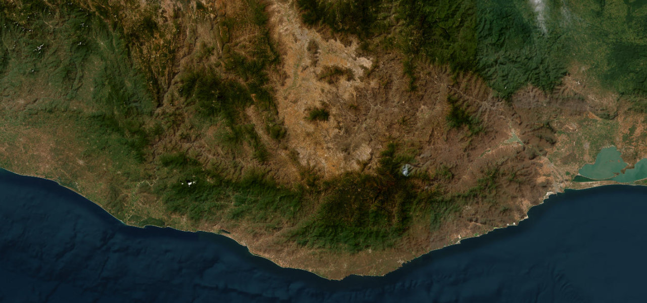
The highest point on the entire Pan-American Highway, Route 2 crosses the Cordillera de Talamanca at 3,335 m through páramo tundra and moss-draped cloud forest, Costa Rica’s most epic road.
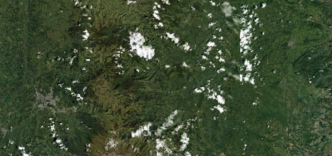
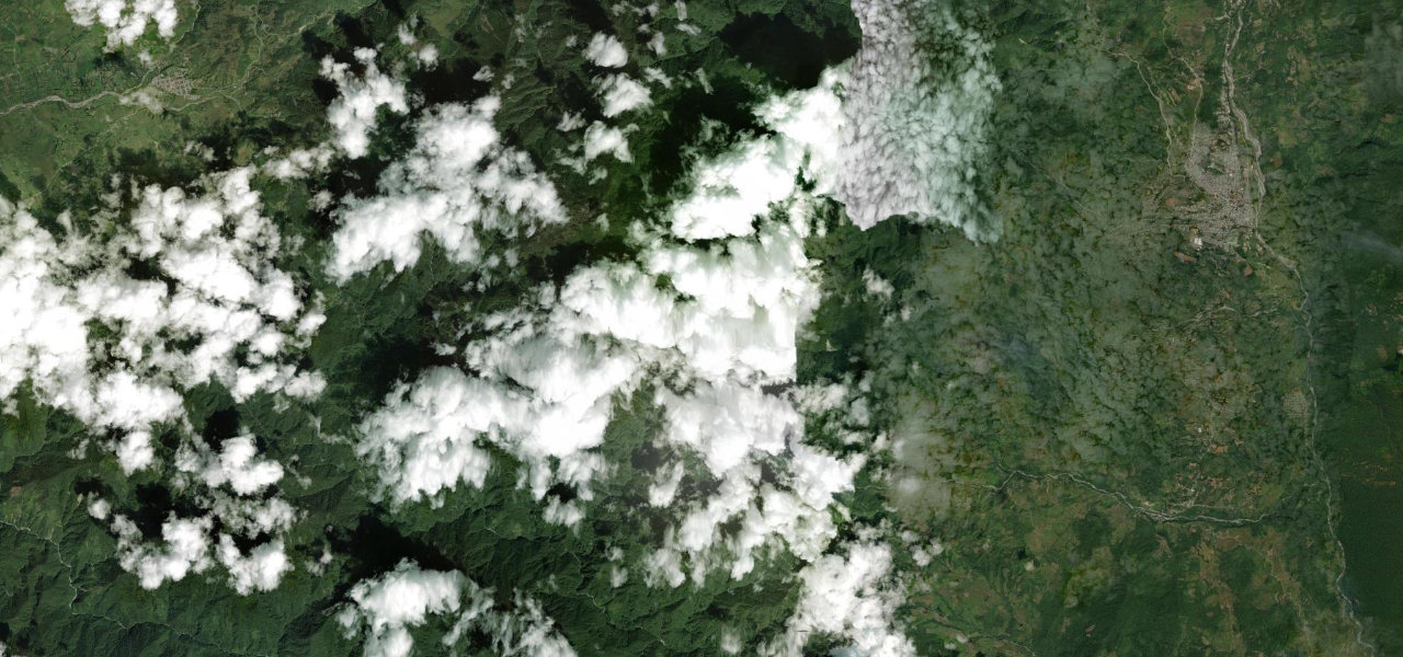
Heading south from Cartago, the Carretera Interamericana Sur climbs through cloud forest before breaking into the otherworldly páramo of Cerro de la Muerte, the summit framed by moss-bearded oaks with views across the Talamanca range. The descent toward San Isidro drops through tall oak forest and subtropical valleys. Built 1941-44; fog can cut visibility to metres. Dry-season daylight driving advised.
Scenery
Where it runs
Navigate to the start: Apple Maps · Google Maps
Character
Higher than 9 in 10 roads in the catalogue.
Elevation
under 4%4–8%over 8%734 – 3,343 mHazards
- fog
- potholes
- landslides
- narrow lanes
- blind corners
- extreme cold at the summit
Sources: Road geometry © OpenStreetMap contributors
Nearby roads
The closest great drives to Cerro de la Muerte.