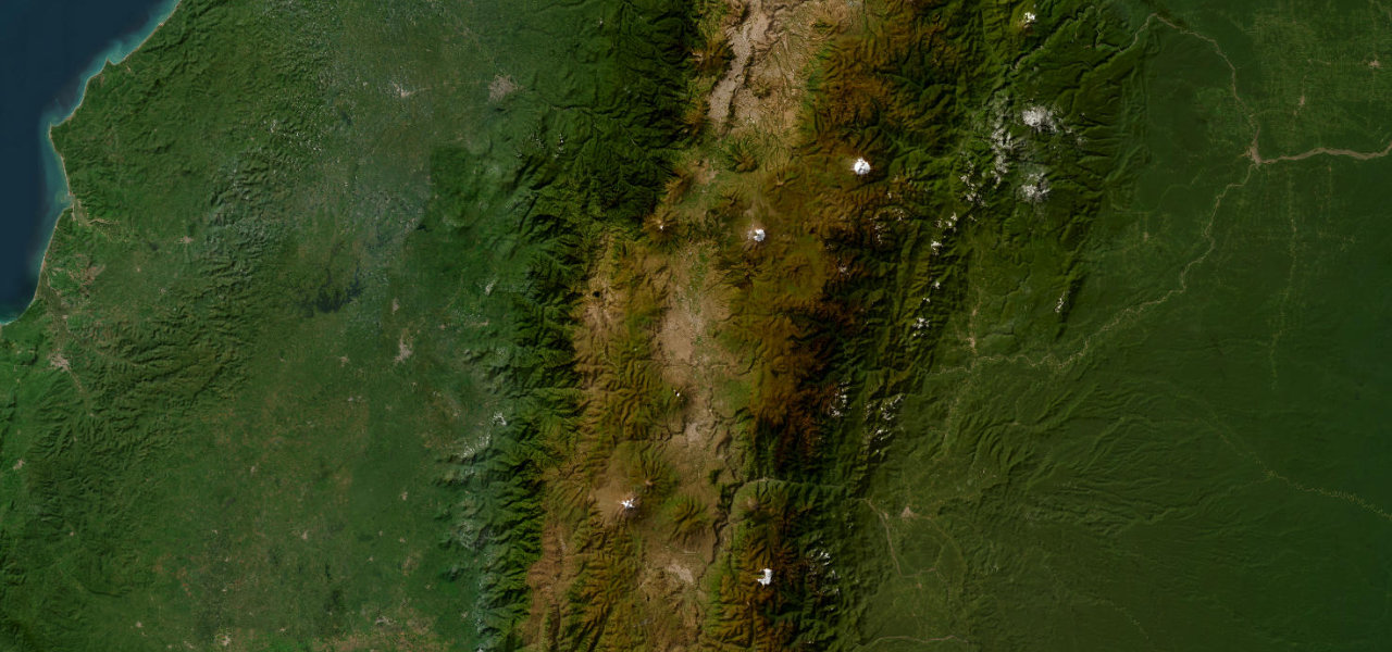
Cotopaxi / Chimborazo · Ecuador
Avenue of the Volcanoes
E35Quito to Riobamba
Distance113.0 mi182 km
Drive time3 h 27 minon the road
DifficultyEasytightness 3 of 10
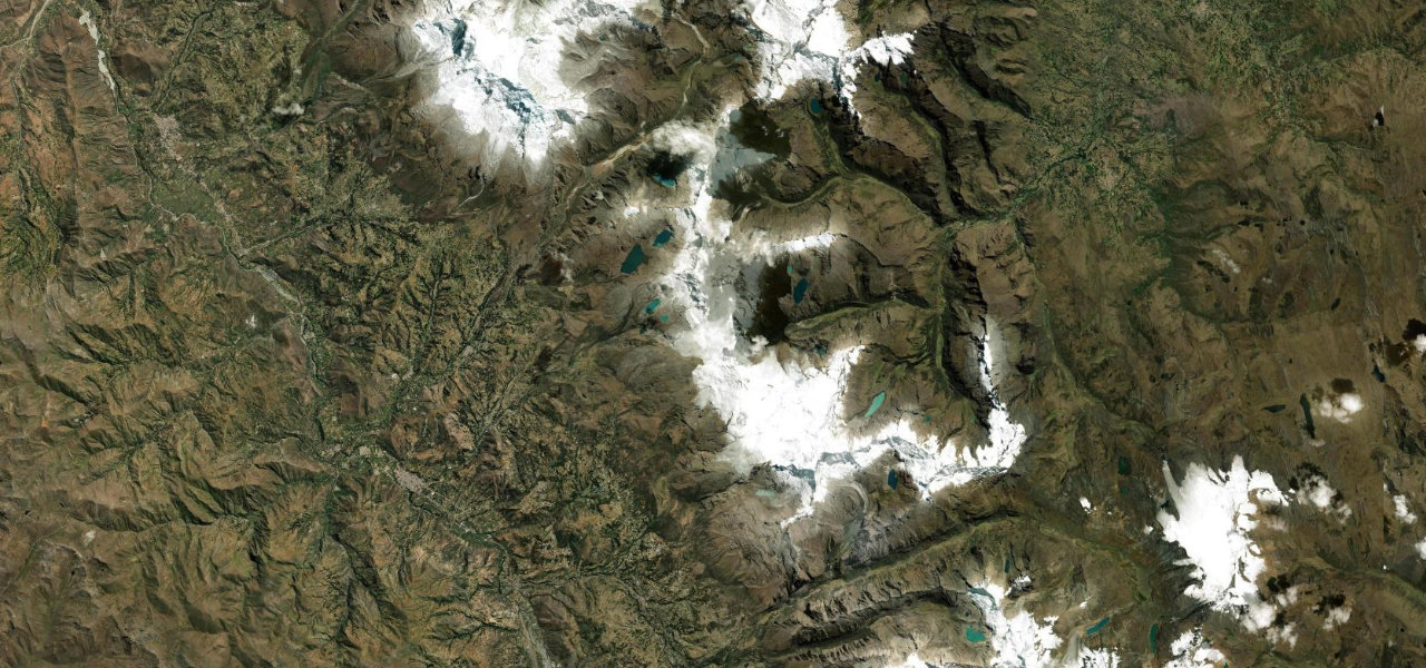
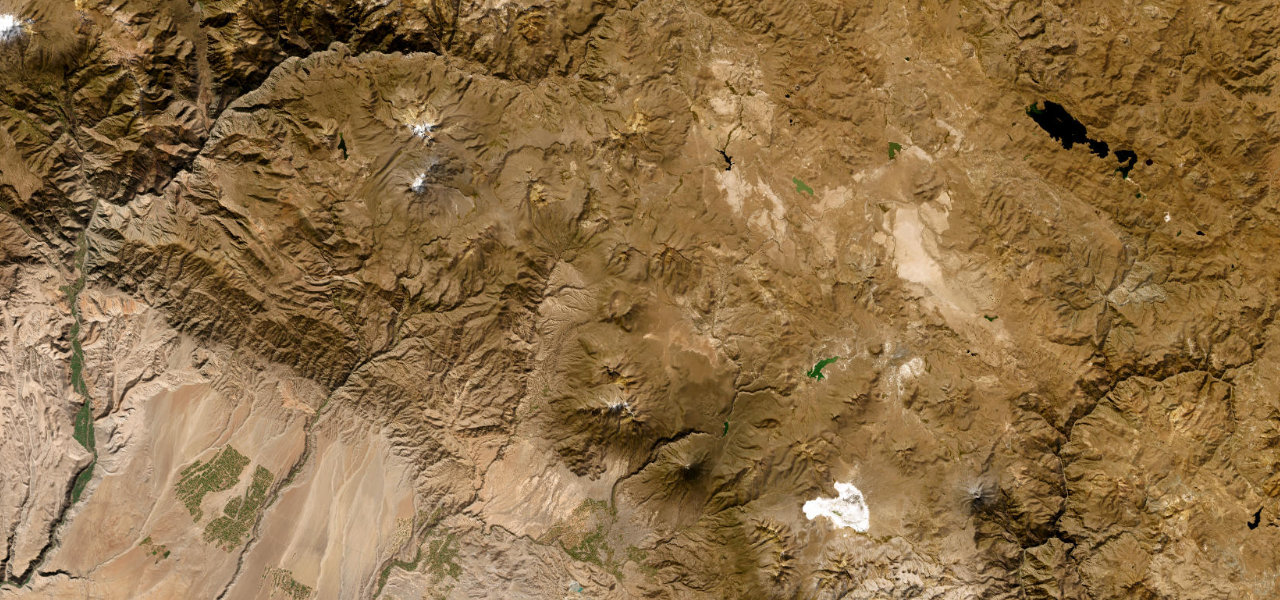
Named by Humboldt in 1802, the 200 km Inter-Andean corridor between Quito and Riobamba is flanked by unbroken chains of snow-capped volcanoes, more major peaks from one road than almost anywhere on earth.
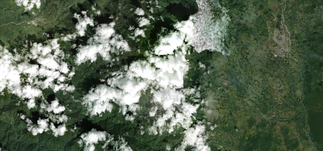
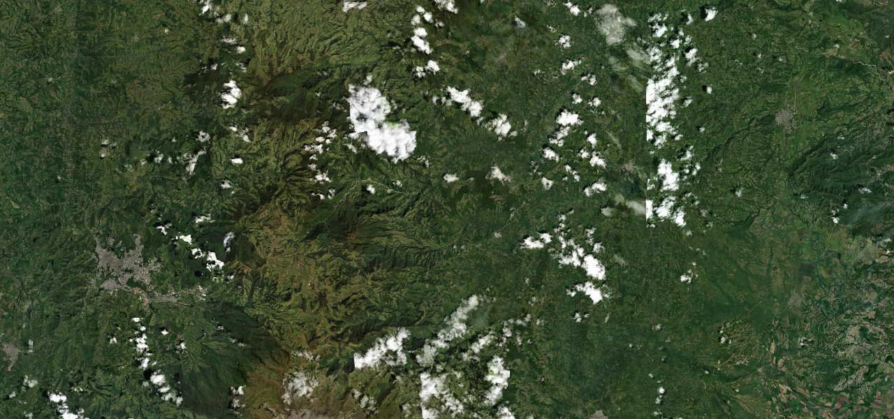
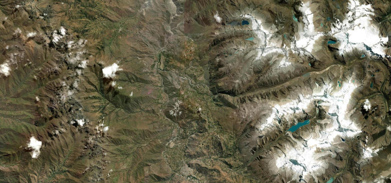
Heading south from Quito the E35 descends into the open valley framing the cone of Cotopaxi, passing Latacunga (base for the Quilotoa loop), Ambato and the flanks of Chimborazo into Riobamba. Paved and well-signed; the challenge is the altitude, between 2,500 and 3,800 m the whole way, not the road.
Where it runs
QuitoStart · Cotopaxi / Chimborazo
RiobambaEnd · Cotopaxi / Chimborazo
Navigate to the start: Apple Maps · Google Maps
Character
Corners70bends
Tightness3of 10
Max gradient8%≈ 1-in-13
Hairpins2tight bends
Climb1,924 mtotal ascent
Summit3,585 mhighest point of the line · 11,762 ft
Higher than 9 in 10 roads in the catalogue.
Elevation
under 4%4–8%over 8%2,535 – 3,585 mHazards
- high altitude (2,500-3,800 m throughout)
- active volcanoes nearby
- afternoon cloud reducing summit views
- fog on the passes
Sources: Road geometry © OpenStreetMap contributors
Nearby roads
The closest great drives to Avenue of the Volcanoes.
Avenue of the Volcanoes
Directions