Ancash · Peru
Punta Olímpica
AN-107Carhuaz to Chacas
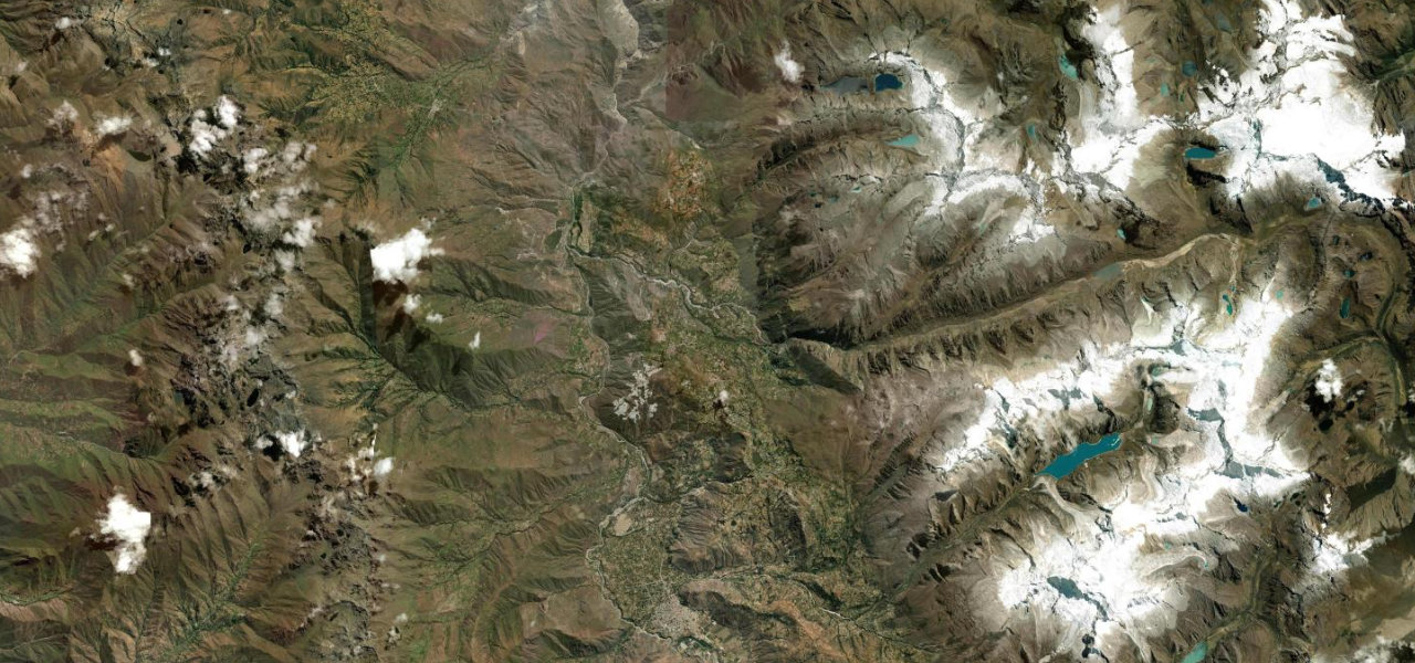
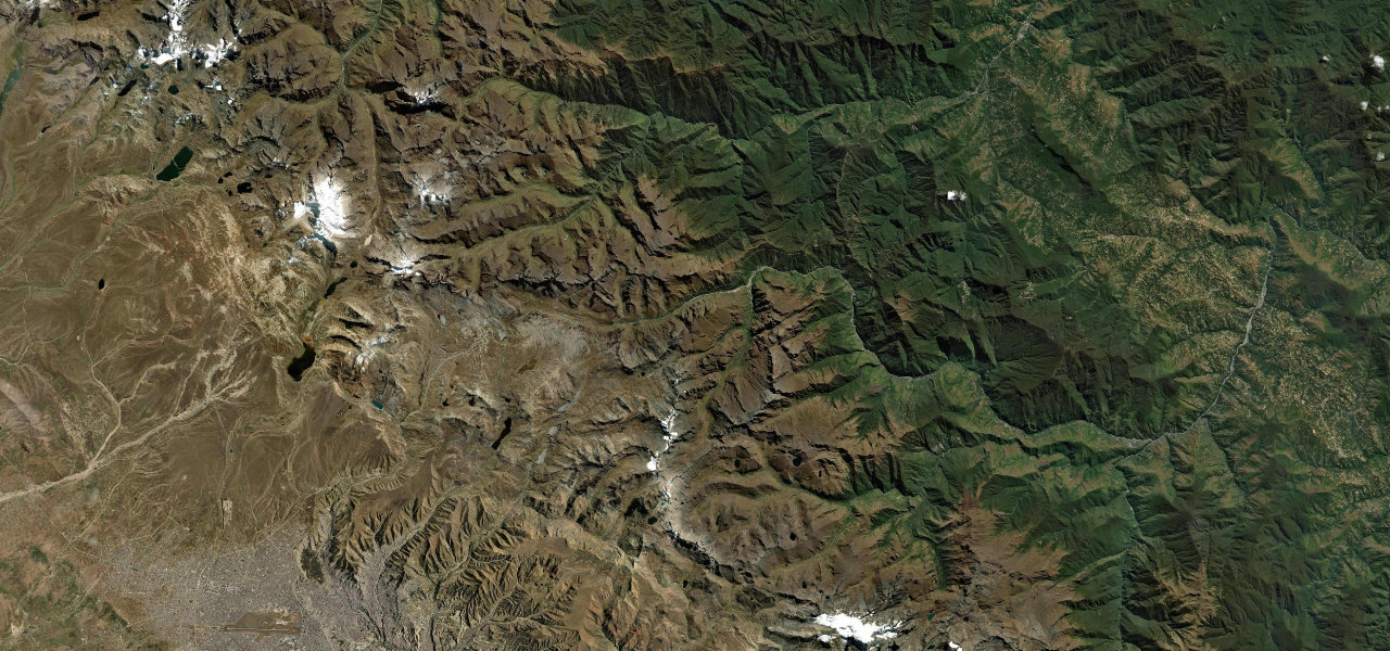
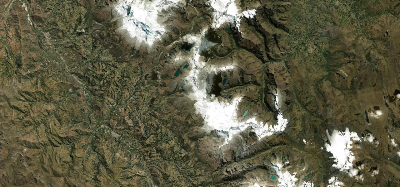
The Ancash road AN-107 climbs from the Santa Valley through the Sector de las Mil Curvas, 46 hairpins over 26 km, before piercing the Cordillera Blanca via the world’s highest road tunnel at 4,732 m, with Huascarán dominating the view.
From Carhuaz the road winds steeply east into the Cordillera Blanca. The Sector de las Mil Curvas gains altitude relentlessly over 46 hairpins with views of Huascarán, Peru’s highest peak. At 4,732 m the 1,384 m Túnel Punta Olímpica pierces the divide, the highest vehicular tunnel in the world; the descent to Chacas drops through the equally dramatic Conchucos valley.
Where it runs
Navigate to the start: Apple Maps · Google Maps
Character
More hairpins than 9 in 10 roads · higher than 9 in 10 roads in the catalogue.
Elevation
under 4%4–8%over 8%2,675 – 4,763 mHazards
- extreme altitude (4,732 m tunnel)
- 46 tight hairpins on the Mil Curvas section
- fog and ice on the approaches
- landslides in the rainy season
Sources: Road geometry © OpenStreetMap contributors
Nearby roads
The closest great drives to Punta Olímpica.