Guide
The best driving roads in South America
South America drives on a scale Europe cannot match. The Andes throw up some of the highest paved passes anywhere, Patagonia hides the Carretera Austral among its fjords and ice, and the switchbacks of Los Caracoles and the Trampolín de la Muerte are the stuff of legend. These are the finest we have mapped across Chile, Argentina, Peru, Bolivia, Ecuador and Colombia, each from real geometry.
 Cuesta de Lipán41 mi · 1 h 22 min · 17 hairpinsView the roadbook ›
Summit
-
1
4,181 msummit
Cuesta de Lipán
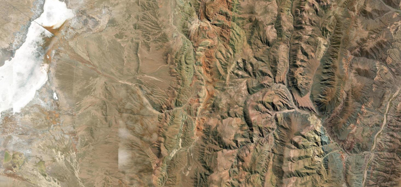
South America’s most perfectly engineered climb, and the one that best rewards the eye. Ruta 52 ascends from the technicolour village of Purmamarca in dozens of switchbacks to Abra de Potrerillos at 4,170 m, with a viewpoint below the summit where the whole serpentine lays itself out, then drops on the far side to the blinding white expanse of the Salinas Grandes salt flat, vicuña drifting across the road. That pairing, painted quebrada below and dead-white salt above, has no equal on the continent. It is fully paved and accessible, the gentlest introduction to Andean altitude driving. Take the altitude seriously, go in the dry, and stop at the mirador for the view of the road you just drove.
-
2
 3,236 msummit
Los Caracoles
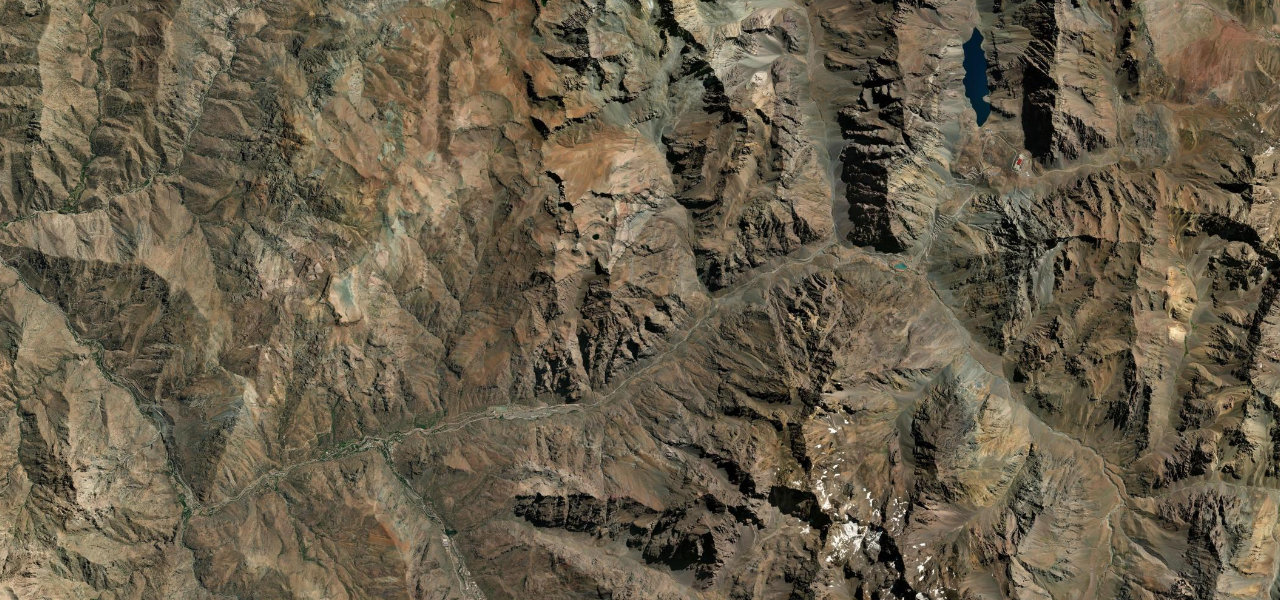
South America’s most famous mountain crossing, and its most photographed stack of switchbacks. From Río Blanco, Ruta 60 enters the upper Aconcagua canyon and Los Caracoles claws up a near-vertical wall in relentless hairpins toward the Cristo Redentor tunnel at around 3,200 m and the Argentine border. Drive it ascending, as the road is best taken, with the canyon walls closing in and the hairpins stacking above you; the descent is for the freight trucks that pound this great trans-Andean artery. Winter brings snow, ice and border closures, so time it for the warm months. The Andes have higher roads, but none where the engineering and the geology argue this loudly in so short a distance.
-
3
 2,766 msummit
Trampolín de la Muerte
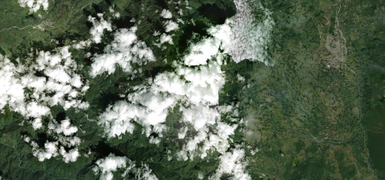
The Trampoline of Death, and the most notorious road on the continent. Seventy-five kilometres of single-lane gravel shelf between San Francisco and Mocoa, hung over Colombian cloud-forest cliffs, 270-degree switchbacks, waterfalls crossing the carriageway, fog erasing the edge you cannot afford to find. One night of rain can close it for days. It earns its place here the hard way, as driving at its most elemental in scenery that would justify the journey even if the journey were easy, which it is not. Drive it in the dry, in daylight, lights on and nerve steady, giving way to the trucks that use it because there is no other road. Never look down.
-
4
 4,874 msummit
Abra Patapampa
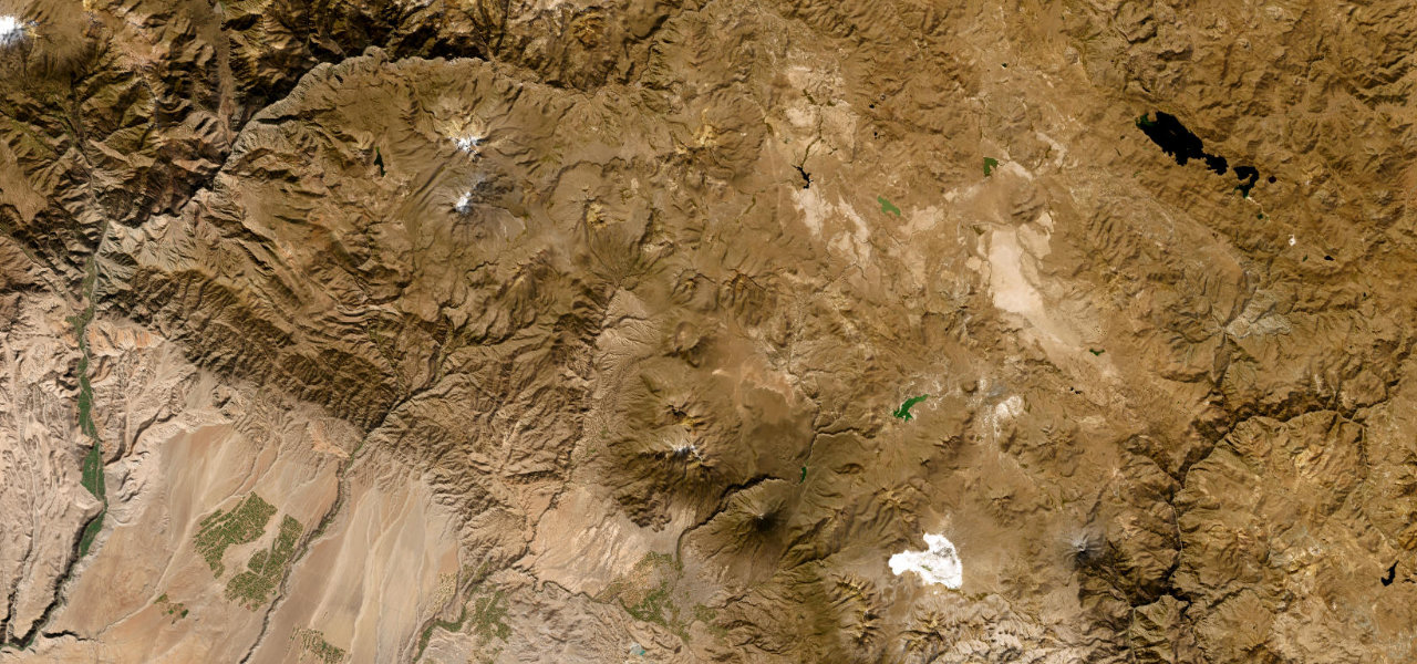
The high point of the Americas, near enough. From Chivay at the head of the Colca Canyon a fully paved road climbs across altiplano grassland grazed by vicuña and alpaca to Abra Patapampa at 4,879 m, one of the highest paved passes in the hemisphere, where a viewpoint of stone apachetas takes in three volcanoes at once: Hualca Hualca, the smoking Sabancaya and Ampato. The driving is easy; the altitude is not, and that is the whole experience, a smooth road into air so thin the engine gasps with you. Drive it toward Arequipa, take the acclimatisation seriously, and stop at the summit to stand higher than almost any road on earth allows.
-
5
 4,831 msummit
Punta Olímpica
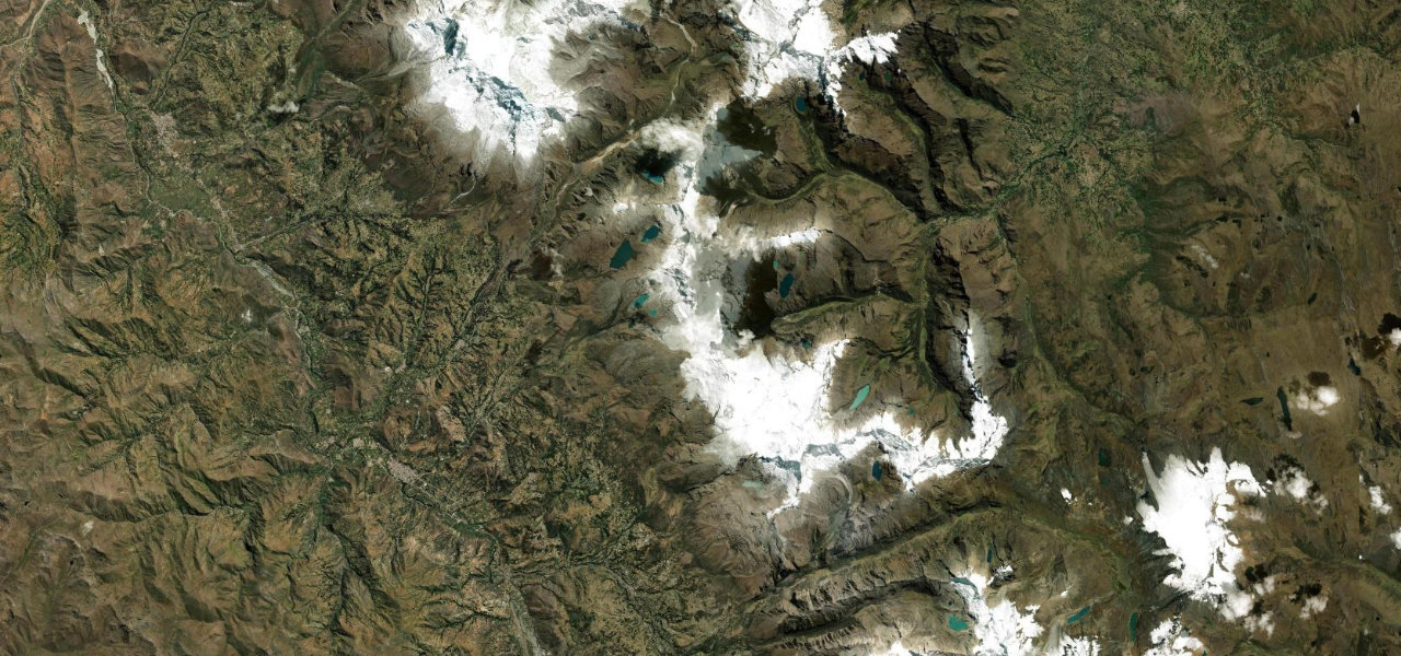
Peru’s engineering marvel, hidden in the Cordillera Blanca. From Carhuaz the AN-107 winds into the mountains through the Sector de las Mil Curvas, forty-six hairpins in twenty-six kilometres, Huascarán, Peru’s highest peak, filling the view, before the road simply pierces the continental divide: the Túnel Punta Olímpica at 4,732 m, the highest road tunnel in the Americas. Emerging on the far side into the Ishinca valley is one of the great reveals in Andean driving. This is a road most travellers have never heard of, in the most beautiful mountain range in the tropics. Drive it in the dry season, mind the altitude, and count the curves on the way up.
-
6
 3,688 msummit
Alto de Letras
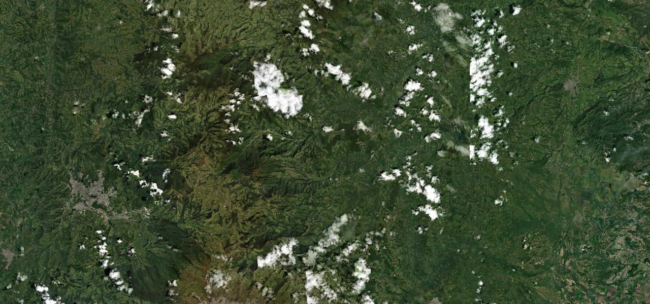
The longest paved climb on earth, or close enough to argue. Colombia’s Ruta 50 lifts eighty-one kilometres from Mariquita at 468 m to a 3,692 m páramo pass before dropping into Manizales, an unbroken ascent through five distinct ecosystems: tropical farmland, coffee terraces, cloud forest and finally the wind-scoured páramo near the Nevado del Ruiz volcano. Cyclists treat it as a holy grail; drivers should too. It is the sheer sustained accumulation that stuns, gaining more than three vertical kilometres in a single continuous climb. Drive it uphill for the full progression of climates, watch the coffee give way to the páramo grass, and understand why this is one of the Andes' great secrets.
-
7
 3,605 msummit
Avenue of the Volcanoes
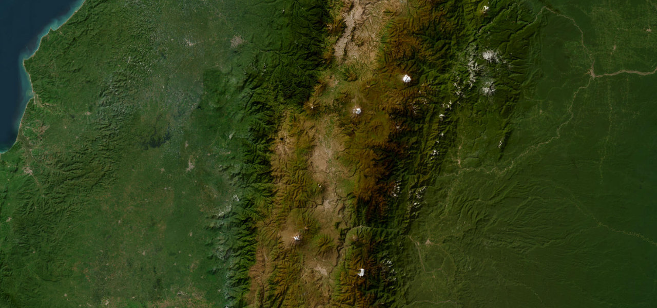
Humboldt named it in 1802 and the name still fits. The E35 runs the Inter-Andean corridor from Quito south to Riobamba, flanked by unbroken chains of snow-capped volcanoes, more major peaks visible from one road than almost anywhere on earth, with the perfect cone of Cotapaxi and the bulk of Chimborazo, the point on the planet’s surface furthest from its centre, dominating the drive. It is graded easy and well-paved; the challenge is the altitude, held between 2,500 and 3,800 m the whole way. This is scenery driving on a continental scale, a corridor of giants. Drive it on a clear morning before the cloud builds, and keep a camera on the passenger seat.
-
8
 3,365 msummit
Cuesta del Obispo
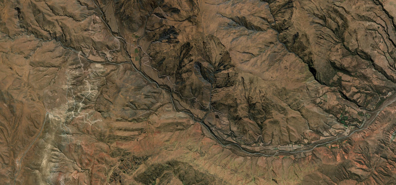
Salta’s fog-wrapped masterpiece, and one of Argentina’s most atmospheric climbs. Out of the green Quebrada de Escoipe the RP33 climbs the Cuesta del Obispo in a long ladder of hairpins, condors riding the thermals above unguarded drops, to the 3,348 m pass where a tiny stone chapel stands beside the Piedra del Molino, a granite millstone abandoned in 1927 after it split on the way up. The Valle Encantado hides in a hollow just below. It is demanding, part gravel, weather-prone, and utterly worth it. Go early before the fog swallows the top, drive it in the dry season, and give the edge the respect the condors do.
-
9
 3,181 msummit
Cañón del Pato
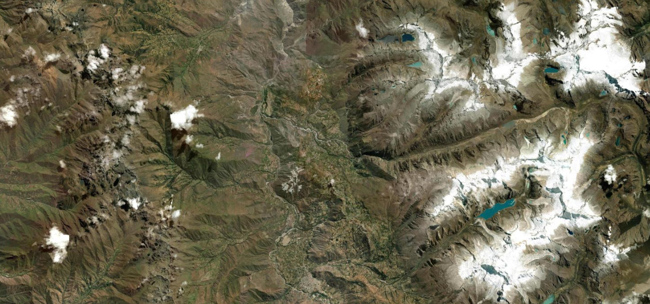
A road hacked out of solid rock, and one of Peru’s most heart-stopping drives. Heading north from Caraz, the unpaved PE-3N enters the Cañón del Pato where the canyon walls close to a slot and the road clings to a ledge above a thousand-foot drop to the Río Santa. The centrepiece is the thirty-five hand-cut tunnels, each one-lane and unlit, so you plunge from blinding sun into black rock and out again into sheer cliff and sky, over and over. There are no barriers and oncoming traffic is a real prospect in the dark. Drive it slowly, sound the horn before every tunnel, and treat one of the Andes' rawest roads with total concentration.
-
10
 1,176 msummit
Ruta de los Siete Lagos
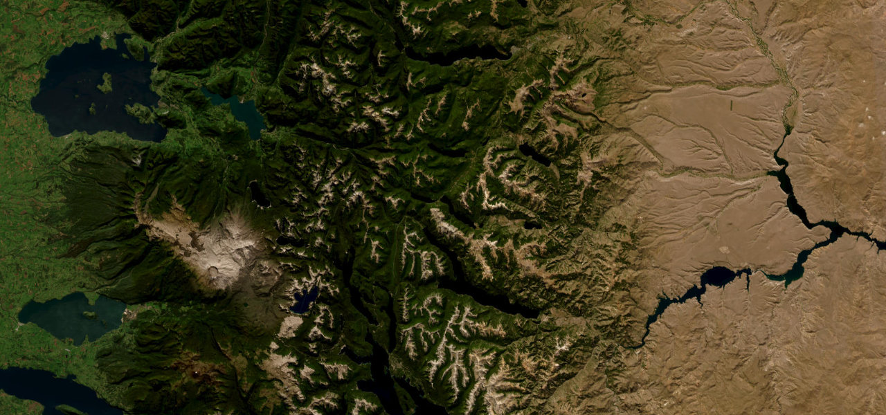
Argentina’s most celebrated Patagonian drive, and a lake laid out at every turn. The Ruta 40 section from San Martín de los Andes south to Villa La Angostura strings together seven glacier-carved lakes, Machónico, Falkner, Villarino, Escondido, Correntoso, Espejo and Nahuel Huapi, through two national parks of native beech and cypress forest, Lake Espejo mirroring the peaks on a calm morning. It is fully paved and easy, a touring road rather than a technical one, the scenery doing all the work. This is the Patagonian Andes at their most postcard-perfect. Drive it slowly with the windows down, stop at every lake overlook, and give the whole day to the Route of the Seven Lakes.
-
11
 1,160 msummit
Paso Mamuil Malal
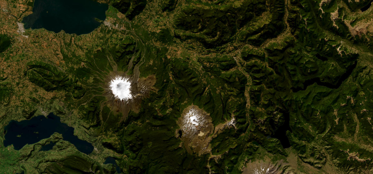
Patagonia begins here, with a volcano in the windscreen. Leaving the lakeside resort of Pucón, the 199-CH runs east up the Trancura valley past Curarrehue, the farmland giving way to ancient stands of araucaria, the umbrella-shaped monkey-puzzle trees that are the emblem of the Chilean Andes, with the perfect snow cone of Lanín volcano filling the view the whole way to the Argentine frontier. It is a paved, moderate crossing, more about beauty than difficulty, the gateway between the Chilean lake district and the Argentine one. This is the softer, greener face of the southern Andes. Drive it toward the pass with Lanín ahead, stop among the araucarias, and let Patagonia introduce itself gently.
-
12
 616 msummit
Carretera Austral
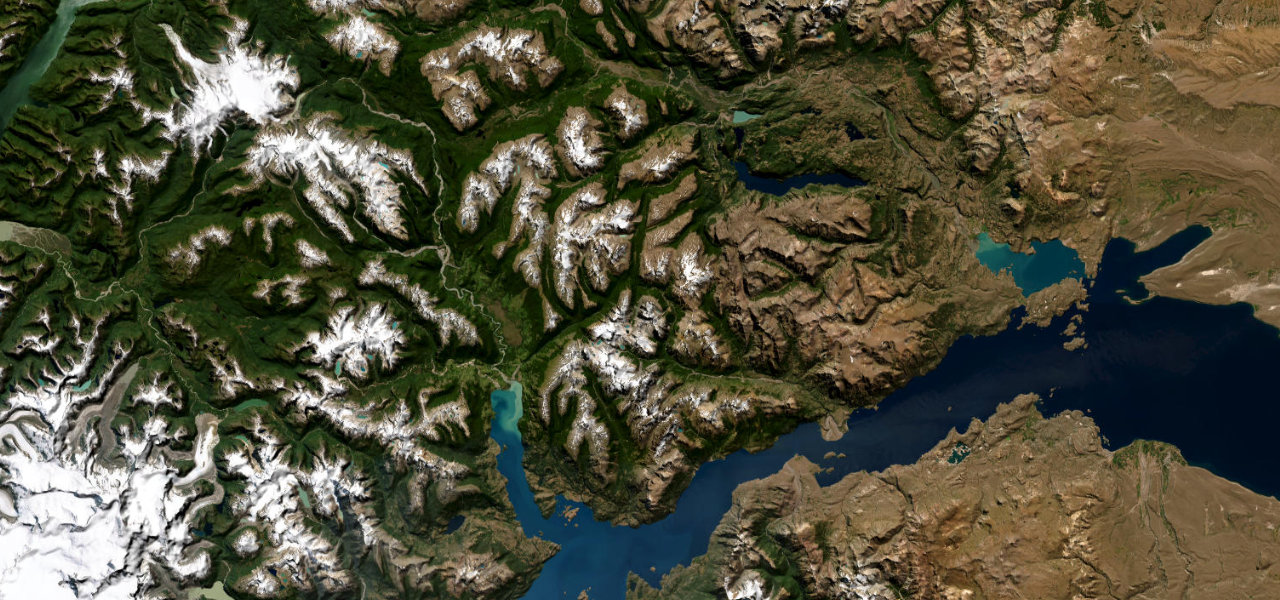
Ruta 7 leaves the rock spires of Cerro Castillo, drops into the Río Ibáñez valley and runs the shore of Lago General Carrera, South America’s second-largest freshwater lake, to the Marble Caves at Puerto Río Tranquilo.
-
13
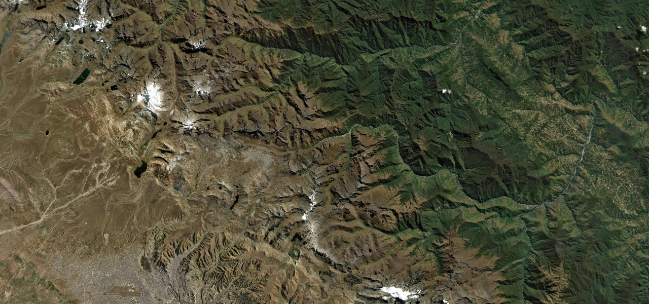 55 milong
La Cumbre to Coroico
The greatest altitude transition on earth, on tarmac. Bolivia’s paved Ruta 3 climbs out of La Paz into the Cordillera Real to La Cumbre at 4,650 m amid snow peaks and high lakes, then plunges 3,450 m over roughly seventy kilometres through every Andean climate zone to the subtropical cloud forest and the colonial town of Coroico in the Yungas. You start in thin cold air among glaciers and end in warm green jungle, all in an afternoon. This is the safe modern road that replaced the notorious Death Road alongside it. Drive it downhill for the full transition, watch the vegetation change through the windscreen, and marvel at the range of a single Andean descent.
Common questions
Which road tops this guide?
How many roads are in this guide?
How is the ranking decided?
More guides
 Guide · 10 roads ranked
The best driving roads in Southeast Asia
Southeast Asia rides through jungle, rice terrace and limestone karst.
Read the guide › Guide · 10 roads ranked
The best driving roads in the Himalayas
The Himalaya and Karakoram hold the highest drivable roads on earth.
Read the guide › Guide · 30 roads ranked
The best coastal drives in the world
A great coast road gives you two views for the price of one: the sea on one side, the land falling into it on the other.
Read the guide ›