Guide
The best driving roads in Southeast Asia
Southeast Asia rides through jungle, rice terrace and limestone karst. Vietnam’s Hai Van and Ma Pi Leng passes trace the coast and the high north, Thailand’s Mae Hong Son Loop strings together hundreds of bends, and the Philippines' Halsema Highway climbs into the cloud. These are the finest we have mapped across Thailand, Vietnam, Malaysia, Indonesia and the Philippines, each from real geometry.
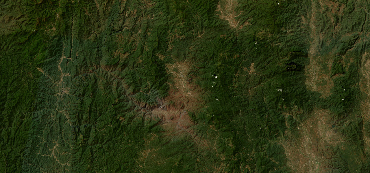 Mae Hong Son Loop125 mi · 4 h 21 min · 22 hairpinsView the roadbook ›
Distance
-
1
125 mi4 h 21 min
Mae Hong Son Loop
The great northern Thai adventure, and Asia’s most famous switchback count. Route 1095 climbs from Mae Malai north of Chiang Mai into remote hill-tribe country on sustained jungle switchbacks, the full loop famous for its 1,864 curves, with the bohemian river town of Pai as the natural overnight stop before the road crosses high ridges to Mae Hong Son. This is a multi-day drive through the mountainous heart of northern Thailand, dense forest, hot springs, hilltribe villages, temples in the mist. It is best in the cool dry season from November to February. Take two or three days, overnight in Pai, and treat the 1,864 curves as the point rather than the obstacle.
-
2
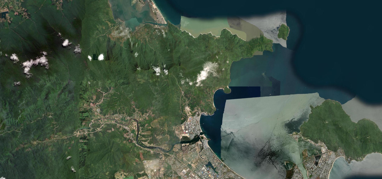 15 mi31 min
Hai Van Pass
Vietnam’s most iconic road, and the one Top Gear made famous. The old QL1 mountain road climbs from sea level at Da Nang, switchbacking through dense jungle to the Nguyen-dynasty fortress gate at the 496 m summit, then descends in long sweeping curves above a turquoise bay to the Lang Co lagoon. The truck traffic now takes the tunnel underneath, which leaves this ribbon of coast road almost empty for those who want it, the Ocean Cloud Pass at its dramatic best. It is short and graded easy, all view and atmosphere. Drive it from Da Nang for the classic reveal of the bay, stop at the old fort at the top, and pick a clear day when the sea turns jade.
-
3
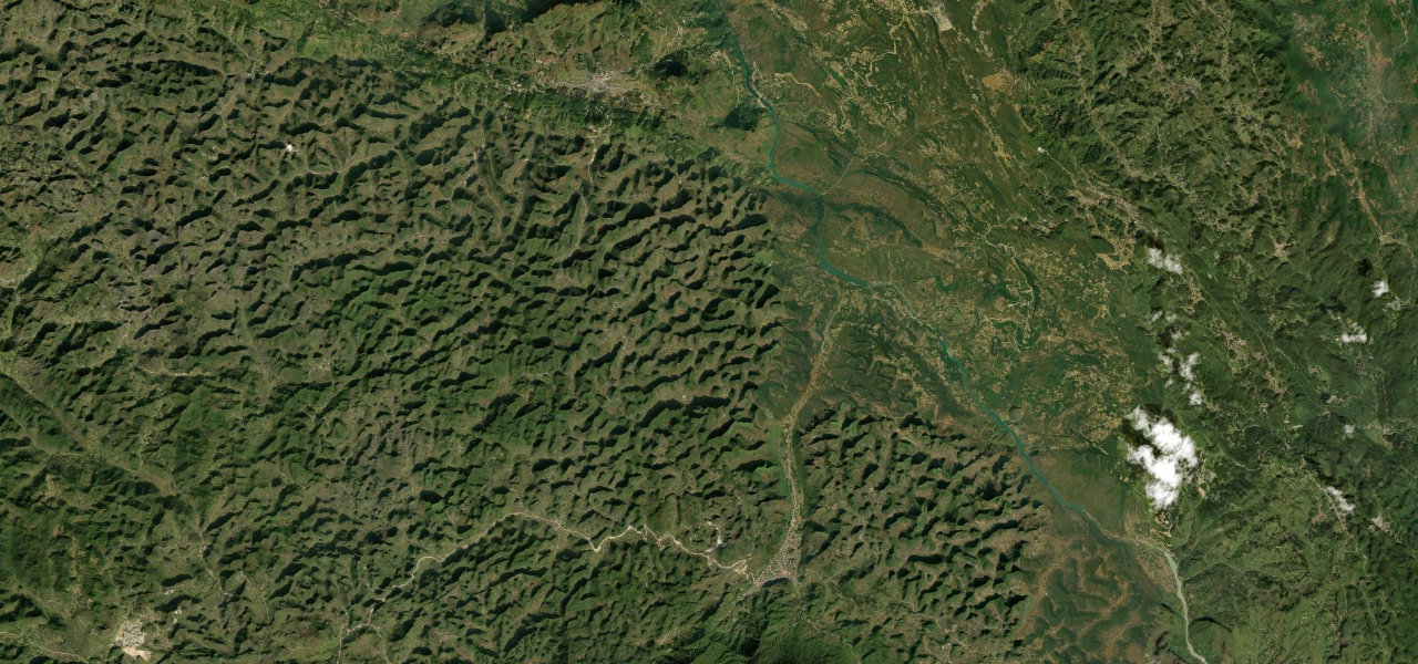 15 mi34 min
Ma Pi Leng Pass
The King of Vietnamese Passes, and the edge of the world made driveable. Part of the Ha Giang Loop, the QL4C carves through near-vertical limestone karst from Dong Van to Meo Vac, cresting at 1,500 m above the Tu San canyon, one of Southeast Asia’s deepest, where the jade-green Nho Que River runs eight hundred metres below sheer cliffs. Nine hairpins negotiate the steepest section on a road blasted into the rock face by hand. This is the most spectacular corner of Vietnam’s far north, a landscape of stone and sky and terraced villages. Drive the loop over several days, take the boat on the Nho Que if you can, and stand at the Ma Pi Leng viewpoint for the canyon that defines the region.
-
4
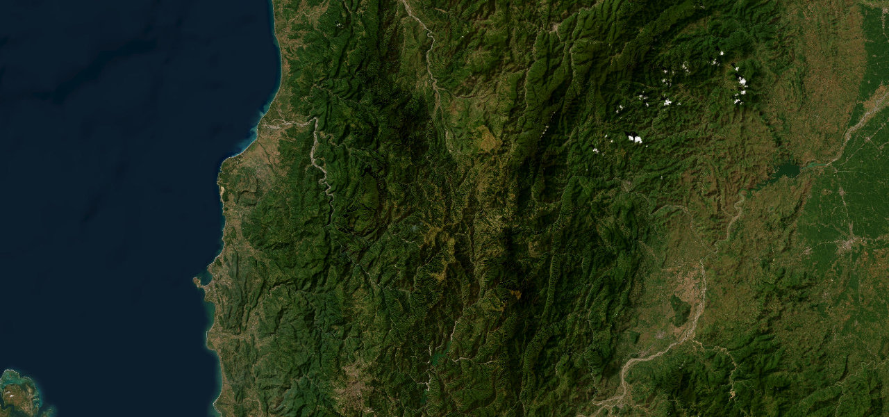 77 mi3 h 8 min
Halsema Highway
The roof of the Philippines, strung along a ridge. Long the highest highway in the country, the Halsema climbs from La Trinidad into the Benguet highlands past terraced vegetable farms onto high ridges with sheer drops on both sides, peaking at 2,255 m in Atok before descending to Bontoc, over a thousand curves of near-continuous ridgeline panorama. It is the spine of the Cordillera, a road through cloud and pine and vertiginous vegetable terraces carved into impossible slopes. Drive it in daylight in the dry season, watch for fog and the drops, and take the whole day for the traverse. This is upland Luzon at its most dramatic, and most travellers never see it.
-
5
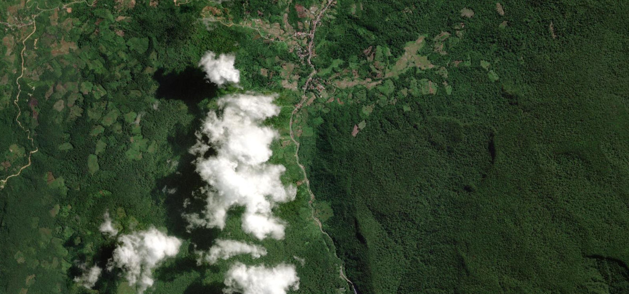 2 mi4 min
Kelok 9
A bottleneck turned into a work of art. In the tropical rainforest of West Sumatra, six soaring concrete viaducts thread the Harau gorge, their pillars rising fifty-eight metres above the forest floor, replacing a notorious nine-hairpin mountain road that still snakes visibly below. Kelok 9, Curve 9, is barely two kilometres long but it is one of Indonesia’s most photogenic pieces of road, the bridges curving out of the jungle canopy as the gorge narrows. Approach from Bukittinggi for the most dramatic reveal. It is short and easy, more a landmark to drive than an epic, but a genuinely beautiful one. Stop at the viewpoint to see the old road and the new bridges together.
-
6
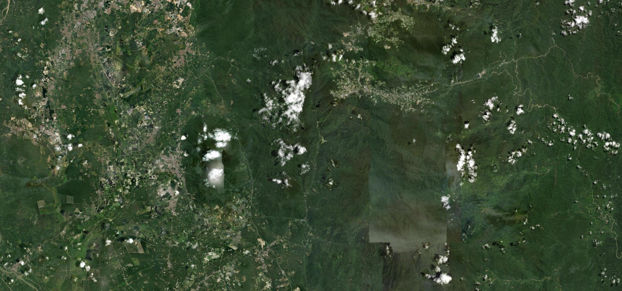 38 mi1 h 33 min
Cameron Highlands Road
Malaysia’s classic colonial climb, ninety kilometres of unbroken bends. Route 59 leaves the lowlands at Tapah and attacks the Titiwangsa Range, rising from seventy metres to over 1,600 through relentless hairpins in primary rainforest, past the Lata Iskandar waterfall, before breaking out onto the tea-carpeted plateau at Tanah Rata and Brinchang. It is a textbook mountain drive, jungle canopy giving way to the cool green geometry of the tea estates the British planted here to escape the heat. Drive it up from Tapah for the full climb, mind the trucks and the tour vans on the bends, and reward yourself with tea at the top where the air is fifteen degrees cooler.
-
7
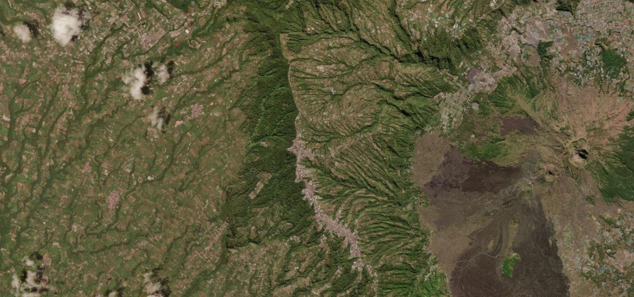 3 mi7 min
Kintamani Caldera Rim
Bali beyond the beaches, on the rim of a live volcano. Climbing north from Ubud to the Penelokan viewpoint, the caldera rim road runs at around 1,500 m past Batur village and Kintamani, and a single crest reveals it all at once: the active cone of Mount Batur, the crescent crater lake beside it, and black lava fields from recent eruptions, one of the great volcanic panoramas in Asia. It is short and moderate, a scenic drive rather than a challenge, but the view is extraordinary and utterly unlike the Bali of the postcards. Drive up early before the cloud closes in over the caldera, take breakfast at a rim café with the volcano across the crater, and loop back through the highlands.
-
8
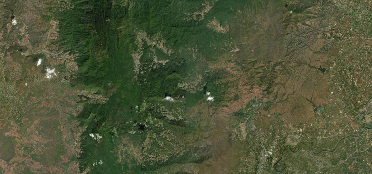 29 mi58 min
Doi Inthanon Summit Road
The road to the roof of Thailand. Route 1009 is the only paved way to the summit of Doi Inthanon, the country’s highest peak at 2,565 m, climbing forty-eight kilometres through tropical, pine and rare montane cloud forest, past the Mae Klang and Wachirathan waterfalls to the Twin Royal Pagodas near the top. It is well surfaced throughout and graded moderate, a steady scenic climb rather than a white-knuckle one, and at the summit the temperature can run fifteen degrees cooler than Chiang Mai, with frost on winter mornings, a genuine rarity in Thailand. Drive it in the cool season, layer up for the top, and stop at the pagodas for the view over the northern mountains.
-
9
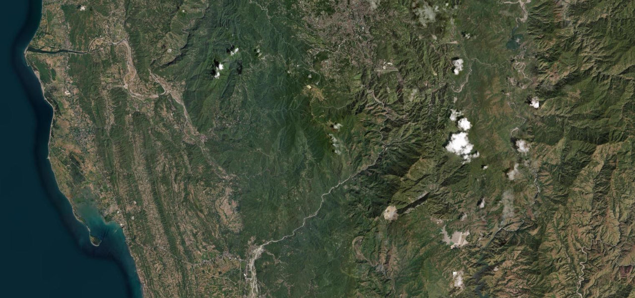 21 mi49 min
Kennon Road
The original road to Baguio, and still the most dramatic. From the lowland junction at Rosario the road enters a deep river canyon and climbs 1,700 m in thirty-four kilometres, the famous zigzag between Camp 6 and Camp 7 stacking switchbacks on near-vertical walls past the Lion’s Head outcrop before pine forest signals the summer capital. It is the boldest of the ascents to Baguio, an American-era engineering feat cut through gorge scenery, and it closes often for landslides in the wet, which is part of its character. Drive it in the dry season, in daylight, mind the rockfall, and take the zigzags slowly. This is Philippine mountain driving at its most historic and most exposed.
-
10
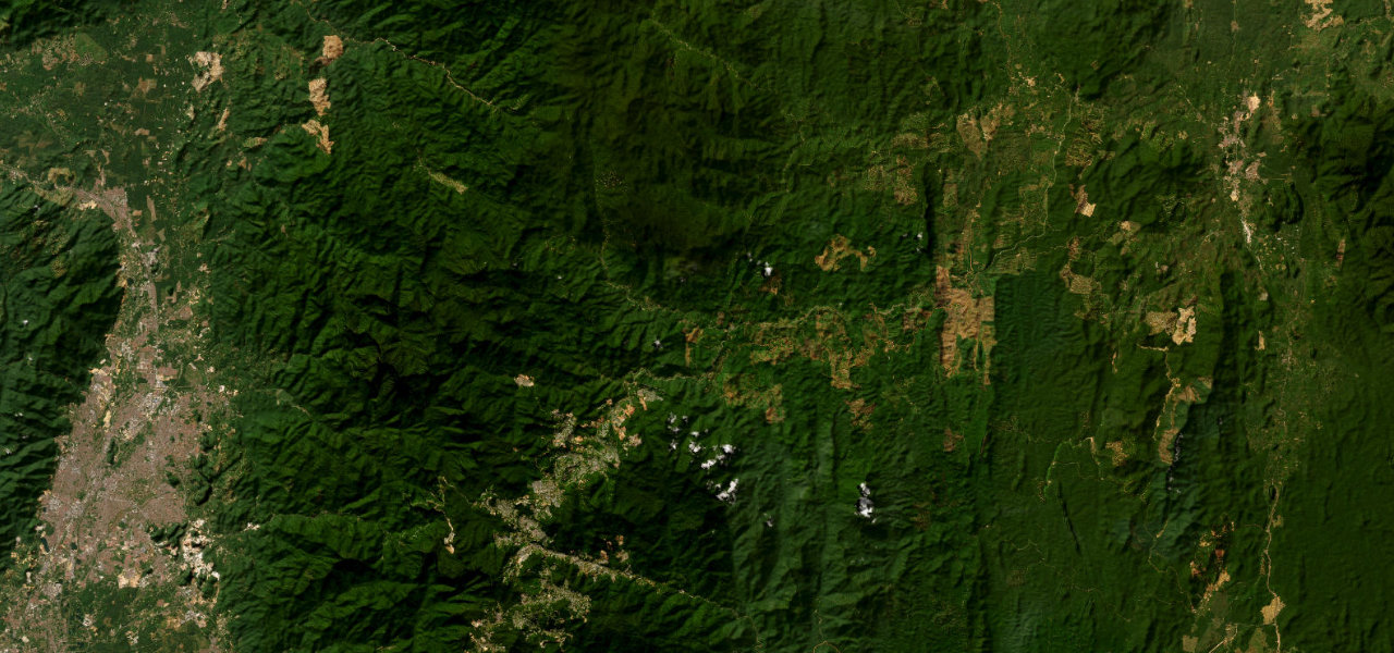 94 mi3 h 8 min
Lojing Highlands Highway
Malaysia’s high crossing above the clouds. Route 185, the Second East-West Highway, pierces the Titiwangsa Range from Simpang Pulai to Gua Musang, and its scenic heart is the Lojing Highlands, where the road runs through montane cloud forest with cloud-inversion views and the towering Lojing Viaduct carries it across the valleys, its tallest pillar fifty-eight metres high. It is a sustained drive of continuous sharp bends on good asphalt, quieter and wilder than the Cameron Highlands road to the west. This is peninsular Malaysia’s mountainous spine at its most remote. Drive it in the morning for the cloud inversions, mind the logging traffic, and enjoy one of the country’s great unheralded mountain roads.
Common questions
Which road tops this guide?
How many roads are in this guide?
How is the ranking decided?
More guides
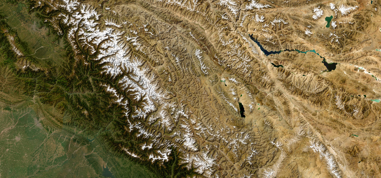 Guide · 10 roads ranked
The best driving roads in the Himalayas
The Himalaya and Karakoram hold the highest drivable roads on earth.
Read the guide › Guide · 30 roads ranked
The best coastal drives in the world
A great coast road gives you two views for the price of one: the sea on one side, the land falling into it on the other.
Read the guide › Guide · 30 roads ranked
The longest great driving roads in the world
Some roads are a corner; others are a journey.
Read the guide ›