West Sumatra · Indonesia
Kelok 9
AH25Harau Gorge to Pangkalan
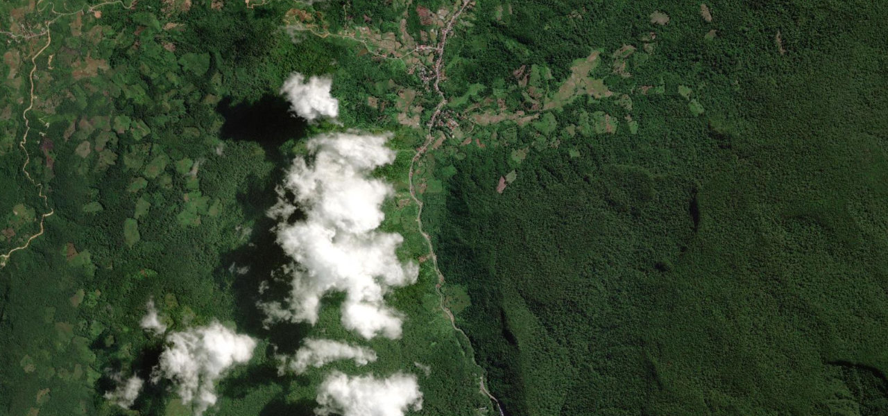
Six soaring concrete viaducts thread a tropical rainforest gorge in West Sumatra, turning a notorious mountain bottleneck into one of Indonesia’s most photogenic drives, pillars rising 58 m above the gorge floor.
The elevated section runs about 2.5 km through the Harau gorge, the old nine-hairpin road still visible parallel below the viaducts. Approach from Bukittinggi for the most dramatic reveal as the gorge narrows and the bridges emerge from the forest canopy. Part of Asian Highway 25.
Scenery
GorgeForestValley
Best seasons
SummerAutumn
In these collections
In these guides
Kelok 9 on the map1.9 mi · point to point
Harau GorgeStart · West Sumatra
PangkalanEnd · West Sumatra
Navigate to the start: Apple Maps · Google Maps
Character
Corners4bends
Tightness4of 10
Max gradient4%≈ 1-in-25
Climb80 mtotal ascent
Summit857.2 mhighest point of the line · 2,812 ft
Corners
busiest around mile 1Elevation
under 4%4–8%over 8%808.8 – 857.2 mPoints of interest1 stop
- Kelok 9Viewpointat the start
Hazards
- Heavy truck traffic
- Wet road surface year-round
- Equatorial rain
Sources
“Kelok 9 is a section of road in West Sumatra which includes nine hairpin turns through mountains. The new road structure consists of 6 bridges with a total length of 959 metres.”
Verified route: mapped from real road geometry and fact-checked by a human editor. How roads get checked
Driving the Kelok 9: quick answers
How long does it take to drive the Kelok 9?
Kelok 9 runs 1.9 miles (3.1 km) and takes about 4 min to drive without stops.
How difficult is the Kelok 9 to drive?
We rate it easy: 4 corners, a maximum gradient of 4%, and a tightness of 4 out of 10.
When is the best time to drive the Kelok 9?
Summer and Autumn are best.
Nearby roads
The closest great drives to Kelok 9.
Kelok 9
DirectionsGet the app